Distance to Huntsville, Ohio

Calculating Your Route
Just a moment while we process your request...
Location Information
-
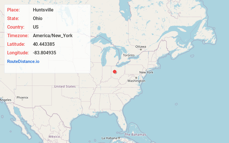
Full AddressHuntsville, OH 43324
-
Coordinates40.4433847, -83.8049353
-
LocationHuntsville , Ohio , US
-
TimezoneAmerica/New_York
-
Current Local Time2:38:25 PM America/New_YorkSunday, June 8, 2025
-
Website
-
Page Views0
About Huntsville
Huntsville is a village in Logan County, Ohio, United States. The population was 408 at the 2020 census.


Nearby Places
Found 10 places within 50 miles

Russells Point
5.0 mi
8.0 km
Russells Point, OH
Get directions

Belle Center
5.3 mi
8.5 km
Belle Center, OH 43310
Get directions

Bellefontaine
6.2 mi
10.0 km
Bellefontaine, OH 43311
Get directions

Chippewa Park
6.7 mi
10.8 km
Chippewa Park, OH 43331
Get directions

Lakeview
6.8 mi
10.9 km
Lakeview, OH 43331
Get directions
Rushsylvania
7.2 mi
11.6 km
Rushsylvania, OH 43347
Get directions

De Graff
10.8 mi
17.4 km
De Graff, OH 43318
Get directions

Jackson Center
12.4 mi
20.0 km
Jackson Center, OH 45334
Get directions

West Liberty
13.5 mi
21.7 km
West Liberty, OH 43357
Get directions
West Mansfield
14.0 mi
22.5 km
West Mansfield, OH 43358
Get directions
Location Links
Local Weather
Weather Information
Coming soon!
Location Map
Static map view of Huntsville, Ohio
Browse Places by Distance
Places within specific distances from Huntsville
Short Distances
Long Distances
Click any distance to see all places within that range from Huntsville. Distances shown in miles (1 mile ≈ 1.61 kilometers).