Distance to Huntsville, Tennessee

Calculating Your Route
Just a moment while we process your request...
Location Information
-
Full AddressHuntsville, TN
-
Coordinates36.409801, -84.4904939
-
LocationHuntsville , Tennessee , US
-
TimezoneAmerica/New_York
-
Current Local Time8:02:39 AM America/New_YorkSunday, June 1, 2025
-
Website
-
Page Views0
About Huntsville
Huntsville is a town in Scott County, Tennessee, United States. The population was 1,270 at the 2020 census and 1,248 at the 2010 census. It is the county seat of Scott County.


Nearby Places
Found 10 places within 50 miles

Oneida
6.2 mi
10.0 km
Oneida, TN 37841
Get directions

Caryville
16.7 mi
26.9 km
Caryville, TN
Get directions

Jacksboro
17.9 mi
28.8 km
Jacksboro, TN 37757
Get directions

LaFollette
20.7 mi
33.3 km
LaFollette, TN
Get directions

Jamestown
24.6 mi
39.6 km
Jamestown, TN 38556
Get directions
Coalfield
26.3 mi
42.3 km
Coalfield, TN
Get directions

Oliver Springs
26.5 mi
42.6 km
Oliver Springs, TN
Get directions

Clinton
29.1 mi
46.8 km
Clinton, TN 37716
Get directions

Williamsburg
29.5 mi
47.5 km
Williamsburg, KY 40769
Get directions

Oak Ridge
30.2 mi
48.6 km
Oak Ridge, TN
Get directions
Location Links
Local Weather
Weather Information
Coming soon!
Location Map
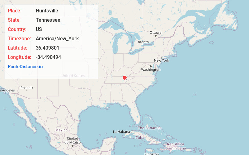
Static map view of Huntsville, Tennessee
Browse Places by Distance
Places within specific distances from Huntsville
Short Distances
Long Distances
Click any distance to see all places within that range from Huntsville. Distances shown in miles (1 mile ≈ 1.61 kilometers).