Distance to Hurricane Branch, Kentucky

Calculating Your Route
Just a moment while we process your request...
Location Information
-
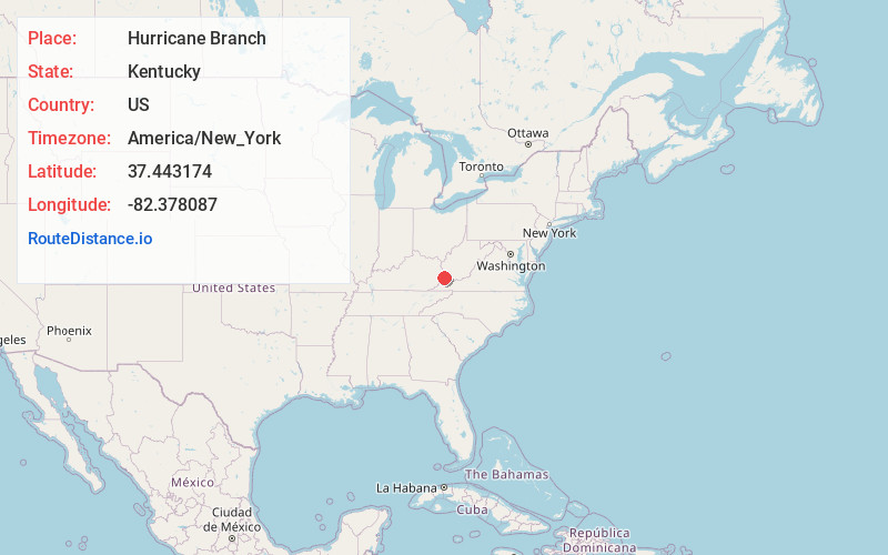
Full AddressHurricane Branch, KY 41554
-
Coordinates37.4431735, -82.3780866
-
LocationHurricane Branch , Kentucky , US
-
TimezoneAmerica/New_York
-
Current Local Time6:42:08 PM America/New_YorkFriday, June 20, 2025
-
Page Views0
Nearby Places
Found 10 places within 50 miles

Phyllis
2.3 mi
3.7 km
Phyllis, KY 41554
Get directions
Honey Fork
3.1 mi
5.0 km
Honey Fork, Kentucky 41554
Get directions
Woodside
3.4 mi
5.5 km
Woodside, KY 41554
Get directions
Kimper
4.0 mi
6.4 km
Kimper, KY 41539
Get directions

Millard
4.1 mi
6.6 km
Millard, KY 41501
Get directions
Nelse
4.4 mi
7.1 km
Nelse, KY 41501
Get directions
Justiceville
4.5 mi
7.2 km
Justiceville, KY 41501
Get directions
Raccoon
4.6 mi
7.4 km
Raccoon, KY 41557
Get directions
Sutton
4.7 mi
7.6 km
Sutton, KY 41562
Get directions
Republic
4.9 mi
7.9 km
Republic, KY 41513
Get directions
Location Links
Local Weather
Weather Information
Coming soon!
Location Map
Static map view of Hurricane Branch, Kentucky
Browse Places by Distance
Places within specific distances from Hurricane Branch
Short Distances
Long Distances
Click any distance to see all places within that range from Hurricane Branch. Distances shown in miles (1 mile ≈ 1.61 kilometers).