Distance to Hustisford, Wisconsin

Calculating Your Route
Just a moment while we process your request...
Location Information
-
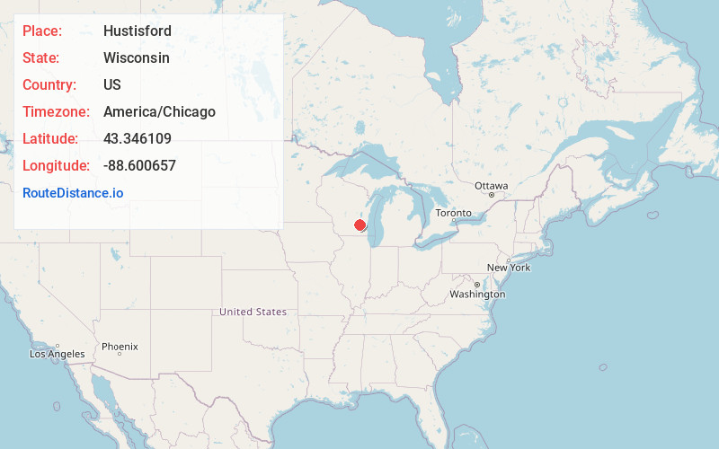
Full AddressHustisford, WI
-
Coordinates43.3461089, -88.6006572
-
LocationHustisford , Wisconsin , US
-
TimezoneAmerica/Chicago
-
Current Local Time12:33:32 PM America/ChicagoWednesday, June 18, 2025
-
Page Views0
About Hustisford
Hustisford is a village in Dodge County, Wisconsin, United States. The population was 1,101 at the 2020 census. The village is located within the town of Hustisford.


Nearby Places
Found 10 places within 50 miles

Juneau
6.7 mi
10.8 km
Juneau, WI 53039
Get directions

Horicon
7.4 mi
11.9 km
Horicon, WI 53032
Get directions

Mayville
10.6 mi
17.1 km
Mayville, WI 53050
Get directions

Hartford
11.3 mi
18.2 km
Hartford, WI
Get directions

Watertown
12.3 mi
19.8 km
Watertown, WI
Get directions

Ixonia
14.0 mi
22.5 km
Ixonia, WI 53036
Get directions

Theresa
14.0 mi
22.5 km
Theresa, WI 53091
Get directions

Beaver Dam
14.2 mi
22.9 km
Beaver Dam, WI 53916
Get directions

Slinger
15.8 mi
25.4 km
Slinger, WI
Get directions

Oconomowoc
17.0 mi
27.4 km
Oconomowoc, WI 53066
Get directions
Location Links
Local Weather
Weather Information
Coming soon!
Location Map
Static map view of Hustisford, Wisconsin
Browse Places by Distance
Places within specific distances from Hustisford
Short Distances
Long Distances
Click any distance to see all places within that range from Hustisford. Distances shown in miles (1 mile ≈ 1.61 kilometers).