Distance to Hustleville, Alabama

Calculating Your Route
Just a moment while we process your request...
Location Information
-
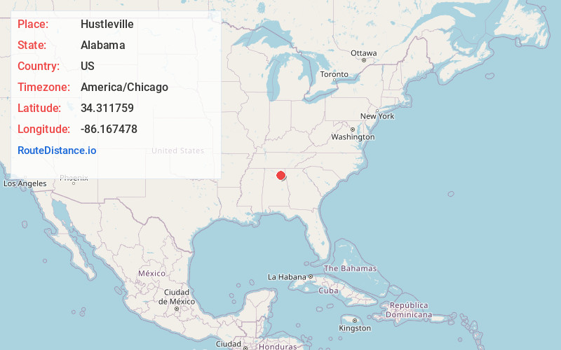
Full AddressHustleville, AL 35951
-
Coordinates34.311759, -86.1674777
-
LocationHustleville , Alabama , US
-
TimezoneAmerica/Chicago
-
Current Local Time10:39:18 PM America/ChicagoThursday, June 19, 2025
-
Page Views0
About Hustleville
Hustleville, also known as Hustle, is an unincorporated community in Marshall County, Alabama, United States.
Hustleville has been noted for its unusual place name.
Nearby Places
Found 10 places within 50 miles

Albertville
3.9 mi
6.3 km
Albertville, AL
Get directions

Boaz
7.6 mi
12.2 km
Boaz, AL
Get directions

Guntersville
7.9 mi
12.7 km
Guntersville, AL
Get directions

Sardis City
9.8 mi
15.8 km
Sardis City, AL 35956
Get directions

Geraldine
9.9 mi
15.9 km
Geraldine, AL
Get directions

Crossville
10.0 mi
16.1 km
Crossville, AL
Get directions
Smith Institute
11.0 mi
17.7 km
Smith Institute, Whitesboro, AL 35956
Get directions
Whitesboro
11.7 mi
18.8 km
Whitesboro, AL
Get directions
Ten Broeck
12.6 mi
20.3 km
Ten Broeck, AL 35971
Get directions
New Union
12.7 mi
20.4 km
New Union, AL 35956
Get directions
Location Links
Local Weather
Weather Information
Coming soon!
Location Map
Static map view of Hustleville, Alabama
Browse Places by Distance
Places within specific distances from Hustleville
Short Distances
Long Distances
Click any distance to see all places within that range from Hustleville. Distances shown in miles (1 mile ≈ 1.61 kilometers).