Distance to Hustontown, Pennsylvania

Calculating Your Route
Just a moment while we process your request...
Location Information
-
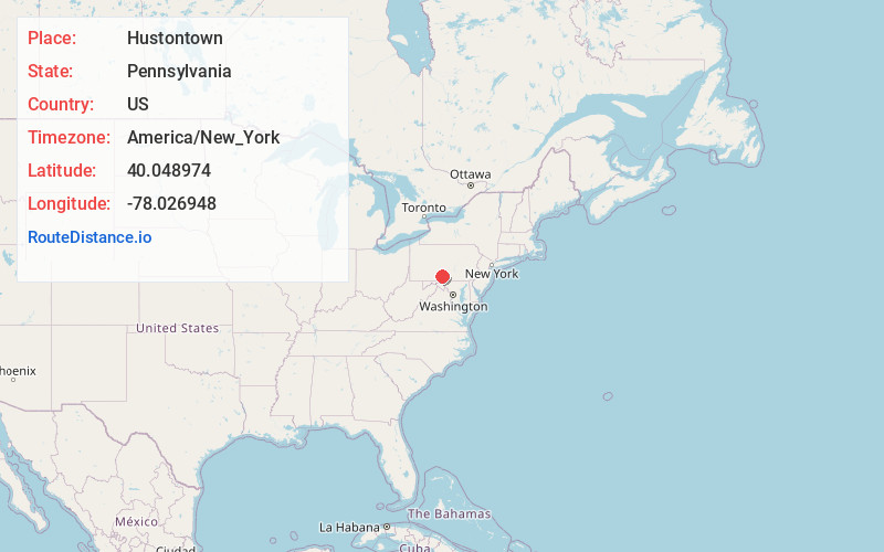
Full AddressHustontown, PA 17229
-
Coordinates40.0489743, -78.0269475
-
LocationHustontown , Pennsylvania , US
-
TimezoneAmerica/New_York
-
Current Local Time4:35:15 PM America/New_YorkTuesday, July 1, 2025
-
Page Views0
About Hustontown
Hustontown is a census-designated place in Fulton County Pennsylvania. It was named after Thomas Huston. Hustontown is situated in Dublin and Taylor Townships in northern Fulton County, Pennsylvania, United States at the intersection of Pennsylvania Routes 475 and 655.
Nearby Places
Found 10 places within 50 miles

Mellotts Mill
2.3 mi
3.7 km
Mellotts Mill, Licking Creek Township, PA 17233
Get directions
Gracey
2.9 mi
4.7 km
Gracey, PA 17228
Get directions
Laidig
3.3 mi
5.3 km
Laidig, Taylor Township, PA 17229
Get directions
Fort Littleton
3.5 mi
5.6 km
Fort Littleton, PA
Get directions
Knobsville
4.4 mi
7.1 km
Knobsville, PA 17233
Get directions

Harrisonville
4.6 mi
7.4 km
Harrisonville, PA 17233
Get directions
Dublin Mills
5.0 mi
8.0 km
Dublin Mills, Fort Littleton, PA 17229
Get directions

Saluvia
5.0 mi
8.0 km
Saluvia, PA 17228
Get directions
Enid
5.9 mi
9.5 km
Enid, Wells Township, PA 16691
Get directions
Cowans Village
6.8 mi
10.9 km
Cowans Village, Metal Township, PA 17224
Get directions
Location Links
Local Weather
Weather Information
Coming soon!
Location Map
Static map view of Hustontown, Pennsylvania
Browse Places by Distance
Places within specific distances from Hustontown
Short Distances
Long Distances
Click any distance to see all places within that range from Hustontown. Distances shown in miles (1 mile ≈ 1.61 kilometers).