Distance to Hutton, Illinois

Calculating Your Route
Just a moment while we process your request...
Location Information
-
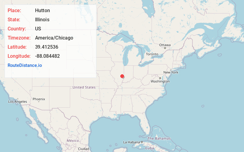
Full AddressHutton, IL 61920
-
Coordinates39.412536, -88.0844818
-
LocationHutton , Illinois , US
-
TimezoneAmerica/Chicago
-
Current Local Time8:08:53 PM America/ChicagoSunday, June 22, 2025
-
Page Views0
About Hutton
Hutton is an unincorporated community in Coles County, Illinois, United States. Hutton is 7 miles southeast of Charleston and used to be known as Salisbury.
Nearby Places
Found 10 places within 50 miles

Diona
3.8 mi
6.1 km
Diona, IL 61920
Get directions

Oilfield
5.3 mi
8.5 km
Oilfield, Parker Township, IL 62420
Get directions
Union Center
5.5 mi
8.9 km
Union Center, IL 62420
Get directions
Maple Point
5.8 mi
9.3 km
Maple Point, IL 62428
Get directions
Campbell
6.9 mi
11.1 km
Campbell, IL 62440
Get directions

Charleston
7.6 mi
12.2 km
Charleston, IL
Get directions
Janesville
8.9 mi
14.3 km
Janesville, IL
Get directions

Ashmore
9.0 mi
14.5 km
Ashmore, IL 61912
Get directions

Casey
9.2 mi
14.8 km
Casey, IL 62420
Get directions
Vevay Park
9.4 mi
15.1 km
Vevay Park, Union Township, IL 62420
Get directions
Location Links
Local Weather
Weather Information
Coming soon!
Location Map
Static map view of Hutton, Illinois
Browse Places by Distance
Places within specific distances from Hutton
Short Distances
Long Distances
Click any distance to see all places within that range from Hutton. Distances shown in miles (1 mile ≈ 1.61 kilometers).