Distance to Huxford, Alabama

Calculating Your Route
Just a moment while we process your request...
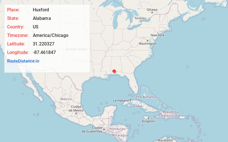
Location Information
-
Full AddressHuxford, AL
-
Coordinates31.2203271, -87.4618471
-
LocationHuxford , Alabama , US
-
TimezoneAmerica/Chicago
-
Current Local Time1:01:24 PM America/ChicagoFriday, May 30, 2025
-
Page Views0
About Huxford
Huxford is an unincorporated community in Escambia County, Alabama, United States. Huxford is located near Alabama State Route 21, 13.7 miles north of Atmore. Huxford had a post office until November 5, 2011; it still has its own ZIP code, 36543. Huxford is located along the route of the Federal Road.
Nearby Places
Found 10 places within 50 miles

Uriah
6.3 mi
10.1 km
Uriah, AL 36480
Get directions

Palmers Crossroads
7.5 mi
12.1 km
Palmers Crossroads, AL 36480
Get directions

Goodway
8.3 mi
13.4 km
Goodway, AL 36445
Get directions
Jeddo
8.3 mi
13.4 km
Jeddo, AL 36480
Get directions
Sardine
8.3 mi
13.4 km
Sardine, AL 36426
Get directions
Booneville
8.5 mi
13.7 km
Booneville, AL 36502
Get directions
Mineola
11.0 mi
17.7 km
Mineola, AL 36480
Get directions
Megargel
11.2 mi
18.0 km
Megargel, AL 36445
Get directions
Lottie
11.4 mi
18.3 km
Lottie, AL 36502
Get directions
Ewing Farms
12.1 mi
19.5 km
Ewing Farms, AL 36502
Get directions
Location Links
Local Weather
Weather Information
Coming soon!
Location Map
Static map view of Huxford, Alabama
Browse Places by Distance
Places within specific distances from Huxford
Short Distances
Long Distances
Click any distance to see all places within that range from Huxford. Distances shown in miles (1 mile ≈ 1.61 kilometers).