Distance to Hyattsville, Kentucky

Calculating Your Route
Just a moment while we process your request...
Location Information
-
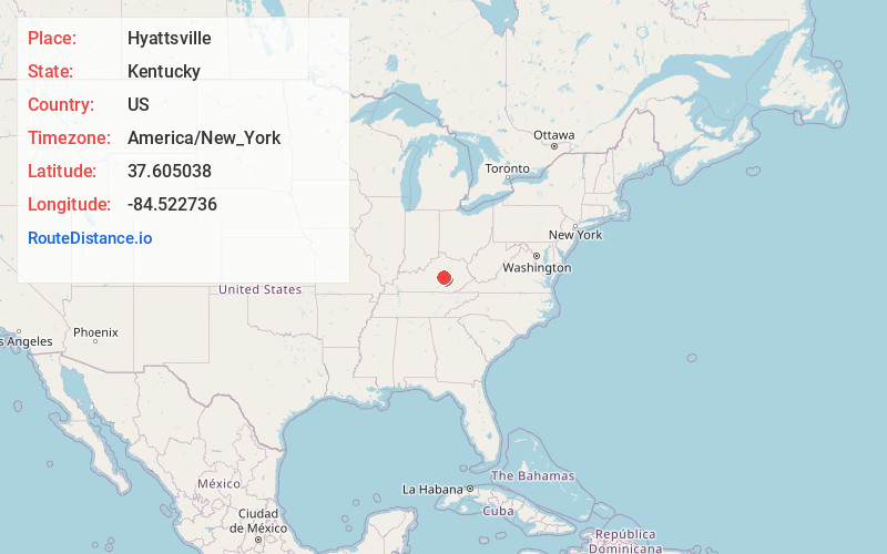
Full AddressHyattsville, KY 40444
-
Coordinates37.605038, -84.522736
-
LocationHyattsville , Kentucky , US
-
TimezoneAmerica/New_York
-
Current Local Time9:59:32 PM America/New_YorkSunday, June 1, 2025
-
Page Views0
About Hyattsville
Hyattsville is an unincorporated community in Garrard County, Kentucky, United States. It lies along Routes 52 and 1295 east of the city of Lancaster, the county seat of Garrard County. Its elevation is 1,040 feet.
A post office in the community was operational from 1869 to 1917.
Nearby Places
Found 10 places within 50 miles

Point Leavell
1.7 mi
2.7 km
Point Leavell, KY 40461
Get directions

Lancaster
3.2 mi
5.1 km
Lancaster, KY 40444
Get directions
Hackley
3.4 mi
5.5 km
Hackley, KY 40461
Get directions
Gilbert
4.5 mi
7.2 km
Gilbert, KY 40444
Get directions
McCreary
4.6 mi
7.4 km
McCreary, KY 40444
Get directions
Manse
4.8 mi
7.7 km
Manse, KY 40461
Get directions
Nina
5.1 mi
8.2 km
Nina, KY 40461
Get directions
Lowell
5.3 mi
8.5 km
Lowell, KY 40461
Get directions
Preachersville
5.4 mi
8.7 km
Preachersville, KY 40419
Get directions
Teatersville
5.9 mi
9.5 km
Teatersville, KY 40444
Get directions
Location Links
Local Weather
Weather Information
Coming soon!
Location Map
Static map view of Hyattsville, Kentucky
Browse Places by Distance
Places within specific distances from Hyattsville
Short Distances
Long Distances
Click any distance to see all places within that range from Hyattsville. Distances shown in miles (1 mile ≈ 1.61 kilometers).