Distance to Hydaburg, Alaska

Calculating Your Route
Just a moment while we process your request...
Location Information
-
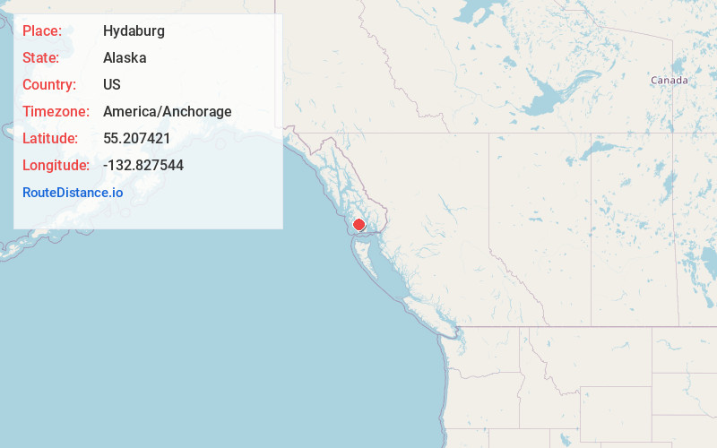
Full AddressHydaburg, AK 99922
-
Coordinates55.2074214, -132.8275438
-
LocationHydaburg , Alaska , US
-
TimezoneAmerica/Anchorage
-
Current Local Time12:21:19 PM America/AnchorageWednesday, June 25, 2025
-
Page Views0
About Hydaburg
Hydaburg is a first-class city in the Prince of Wales-Hyder Census Area, in the U.S. state of Alaska. The population was 382 at the 2000 census and 376 as of the 2010 census. The name "Hydaburg" refers to the Haida people.


Nearby Places
Found 6 places within 50 miles

Craig
22.2 mi
35.7 km
Craig, AK
Get directions

Klawock
25.8 mi
41.5 km
Klawock, AK 99925
Get directions

Thorne Bay
35.2 mi
56.6 km
Thorne Bay, AK
Get directions

Ketchikan
47.4 mi
76.3 km
Ketchikan, AK 99901
Get directions

Saxman
49.1 mi
79.0 km
Saxman, AK 99901
Get directions

Metlakatla
49.8 mi
80.1 km
Metlakatla, AK 99926
Get directions
Location Links
Local Weather
Weather Information
Coming soon!
Location Map
Static map view of Hydaburg, Alaska
Browse Places by Distance
Places within specific distances from Hydaburg
Short Distances
Long Distances
Click any distance to see all places within that range from Hydaburg. Distances shown in miles (1 mile ≈ 1.61 kilometers).