Distance to Idahome, Idaho

Calculating Your Route
Just a moment while we process your request...
Location Information
-
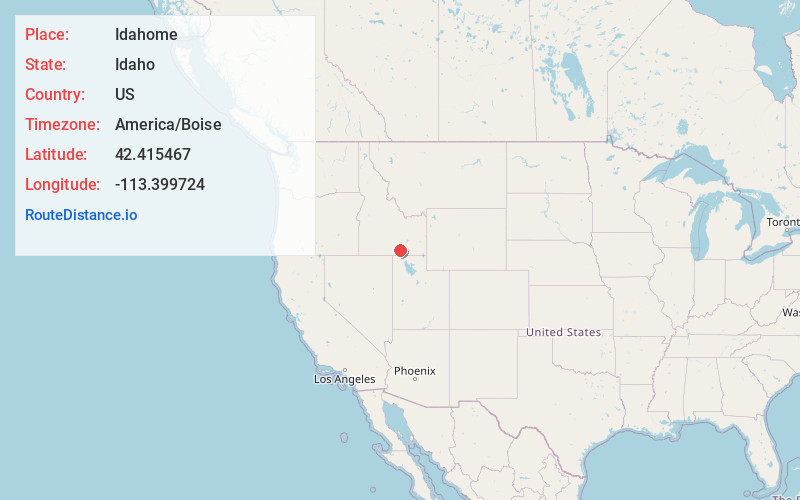
Full AddressIdahome, ID 83323
-
Coordinates42.4154672, -113.3997237
-
LocationIdahome , Idaho , US
-
TimezoneAmerica/Boise
-
Current Local Time4:42:11 PM America/BoiseFriday, June 20, 2025
-
Page Views0
About Idahome
Idahome is an unincorporated community in Cassia County, Idaho, United States. Idahome is located along Idaho State Highway 81 7.5 miles north-northwest of Malta.
Nearby Places
Found 10 places within 50 miles

Cotterel
7.7 mi
12.4 km
Cotterel, ID 83323
Get directions

Malta
7.7 mi
12.4 km
Malta, ID 83342
Get directions

Albion
9.1 mi
14.6 km
Albion, ID 83311
Get directions
Connor
10.6 mi
17.1 km
Connor, ID 83342
Get directions
North Chapin Mountain
13.1 mi
21.1 km
North Chapin Mountain, Idaho 83323
Get directions
Heglar
13.5 mi
21.7 km
Heglar, ID 83323
Get directions

Declo
13.6 mi
21.9 km
Declo, ID 83323
Get directions
Keogh
13.7 mi
22.0 km
Keogh, ID 83342
Get directions

Elba
14.2 mi
22.9 km
Elba, ID 83342
Get directions
Raft River
15.1 mi
24.3 km
Raft River, ID 83323
Get directions
Location Links
Local Weather
Weather Information
Coming soon!
Location Map
Static map view of Idahome, Idaho
Browse Places by Distance
Places within specific distances from Idahome
Short Distances
Long Distances
Click any distance to see all places within that range from Idahome. Distances shown in miles (1 mile ≈ 1.61 kilometers).