Distance to Idlewild, Tennessee

Calculating Your Route
Just a moment while we process your request...
Location Information
-
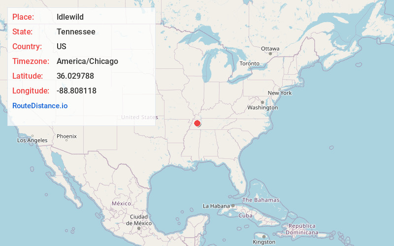
Full AddressIdlewild, TN 38316
-
Coordinates36.0297883, -88.8081176
-
LocationIdlewild , Tennessee , US
-
TimezoneAmerica/Chicago
-
Current Local Time9:33:09 AM America/ChicagoMonday, June 23, 2025
-
Page Views0
About Idlewild
Idlewild is an unincorporated community in Gibson County, Tennessee, United States.
The community began to form in the 1870s. Initially it used the names Thedford and Sprawling, for early settlers with the surnames Thetford and Sprawling. The origin of the Idlewild name is not known.
Nearby Places
Found 10 places within 50 miles

Bradford
3.2 mi
5.1 km
Bradford, TN 38316
Get directions
Holly Leaf
6.4 mi
10.3 km
Holly Leaf, TN 38220
Get directions
Moores Chapel
6.5 mi
10.5 km
Moores Chapel, TN 38358
Get directions
Ledbetter
7.9 mi
12.7 km
Ledbetter, TN 38358
Get directions

Milan
8.1 mi
13.0 km
Milan, TN 38358
Get directions

Trenton
8.2 mi
13.2 km
Trenton, TN 38382
Get directions

Atwood
8.3 mi
13.4 km
Atwood, TN
Get directions
Good Luck
8.3 mi
13.4 km
Good Luck, TN 38369
Get directions

Greenfield
8.6 mi
13.8 km
Greenfield, TN 38230
Get directions
China Grove
9.6 mi
15.4 km
China Grove, TN 38369
Get directions
Location Links
Local Weather
Weather Information
Coming soon!
Location Map
Static map view of Idlewild, Tennessee
Browse Places by Distance
Places within specific distances from Idlewild
Short Distances
Long Distances
Click any distance to see all places within that range from Idlewild. Distances shown in miles (1 mile ≈ 1.61 kilometers).