Distance to Idlewild, Kentucky

Calculating Your Route
Just a moment while we process your request...
Location Information
-
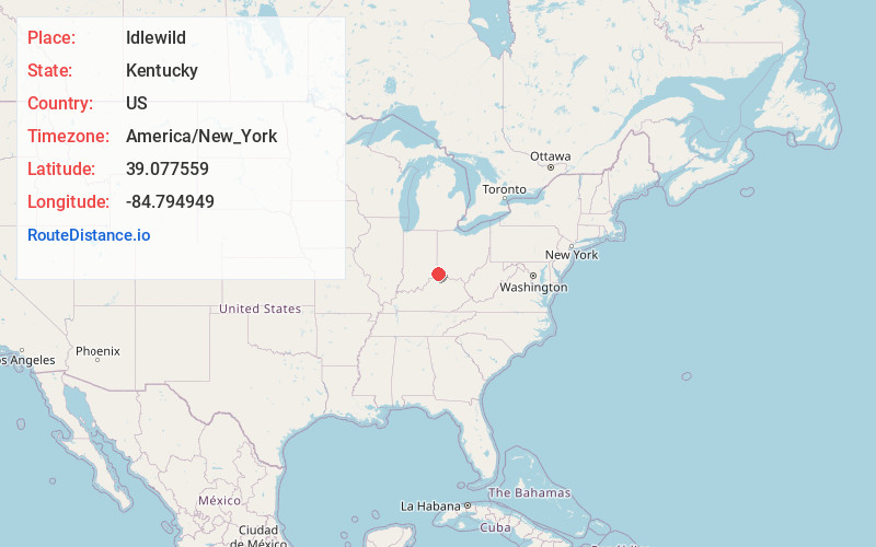
Full AddressIdlewild, KY 41080
-
Coordinates39.0775585, -84.7949488
-
LocationIdlewild , Kentucky , US
-
TimezoneAmerica/New_York
-
Current Local Time9:15:26 AM America/New_YorkMonday, June 23, 2025
-
Page Views0
About Idlewild
Idlewild is an unincorporated community in Boone County, Kentucky, United States. Idlewild is located at the junction of Kentucky Routes 20 and 338, 5 miles northwest of Burlington. The name "Idlewild" was adopted in 1900, and the community was formerly named Gainesville and Utzinger, respectively.
Nearby Places
Found 10 places within 50 miles

Finney
2.9 mi
4.7 km
Finney, Shawnee, OH 45052
Get directions
Bullittsville
3.0 mi
4.8 km
Bullittsville, KY 41005
Get directions

Lawrenceburg
3.1 mi
5.0 km
Lawrenceburg, IN 47025
Get directions

Petersburg
3.9 mi
6.3 km
Petersburg, KY 41080
Get directions
Francisville
4.1 mi
6.6 km
Francisville, KY 41048
Get directions

Greendale
4.4 mi
7.1 km
Greendale, IN 47025
Get directions

Hebron
5.0 mi
8.0 km
Hebron, KY 41048
Get directions

Burlington
5.1 mi
8.2 km
Burlington, KY 41005
Get directions
Elizabethtown
5.6 mi
9.0 km
Elizabethtown, OH 45052
Get directions
Taylorsport
5.7 mi
9.2 km
Taylorsport, KY 41048
Get directions
Location Links
Local Weather
Weather Information
Coming soon!
Location Map
Static map view of Idlewild, Kentucky
Browse Places by Distance
Places within specific distances from Idlewild
Short Distances
Long Distances
Click any distance to see all places within that range from Idlewild. Distances shown in miles (1 mile ≈ 1.61 kilometers).