Distance to Indian Mound, Tennessee

Calculating Your Route
Just a moment while we process your request...
Location Information
-
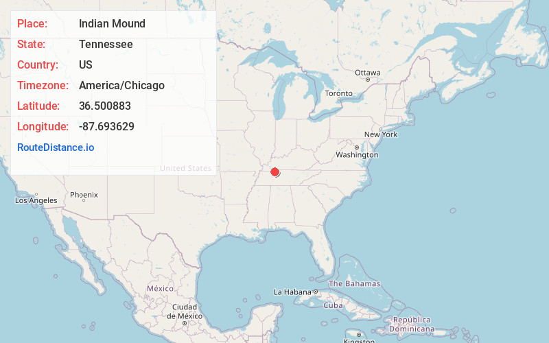
Full AddressIndian Mound, TN 37079
-
Coordinates36.5008833, -87.6936291
-
LocationIndian Mound , Tennessee , US
-
TimezoneAmerica/Chicago
-
Current Local Time10:44:28 PM America/ChicagoSaturday, June 21, 2025
-
Page Views0
About Indian Mound
Indian Mound is an unincorporated community in Stewart County, Tennessee, United States. It has a post office, with ZIP code 37079.
Cross Creek Baptist Church is located in Indian Mound at 882 Red Top Road.


Nearby Places
Found 10 places within 50 miles

Legate
3.7 mi
6.0 km
Legate, TN 37079
Get directions

Bear Spring
3.7 mi
6.0 km
Bear Spring, TN 37058
Get directions
Wyatts Chapel
4.5 mi
7.2 km
Wyatts Chapel, TN 37058
Get directions
Throckmorton
5.9 mi
9.5 km
Throckmorton, TN 37079
Get directions
Carlisle
6.3 mi
10.1 km
Carlisle, TN 37058
Get directions

Big Rock
6.6 mi
10.6 km
Big Rock, TN 37023
Get directions
Oakwood
6.8 mi
10.9 km
Oakwood, TN 37191
Get directions
Needmore
6.8 mi
10.9 km
Needmore, TN 37079
Get directions
Stringtown
7.6 mi
12.2 km
Stringtown, TN 37079
Get directions

Dover
8.1 mi
13.0 km
Dover, TN 37058
Get directions
Location Links
Local Weather
Weather Information
Coming soon!
Location Map
Static map view of Indian Mound, Tennessee
Browse Places by Distance
Places within specific distances from Indian Mound
Short Distances
Long Distances
Click any distance to see all places within that range from Indian Mound. Distances shown in miles (1 mile ≈ 1.61 kilometers).