Distance to Indian River, Michigan

Calculating Your Route
Just a moment while we process your request...
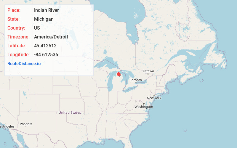
Location Information
-
Full AddressIndian River, MI 49749
-
Coordinates45.4125117, -84.6125364
-
LocationIndian River , Michigan , US
-
TimezoneAmerica/Detroit
-
Current Local Time1:47:01 PM America/DetroitSaturday, May 31, 2025
-
Page Views0
About Indian River
Indian River is an unincorporated community and census-designated place in Cheboygan County in the U.S. state of Michigan. The population was 1,950 at the 2020 census. The CDP is located in Tuscarora Township between Burt Lake and Mullett Lake.


Nearby Places
Found 7 places within 50 miles

Petoskey
17.0 mi
27.4 km
Petoskey, MI 49770
Get directions

Cheboygan
17.5 mi
28.2 km
Cheboygan, MI 49721
Get directions

Boyne City
23.7 mi
38.1 km
Boyne City, MI 49712
Get directions

Gaylord
26.8 mi
43.1 km
Gaylord, MI 49735
Get directions

Charlevoix
32.0 mi
51.5 km
Charlevoix, MI 49720
Get directions

St Ignace
32.5 mi
52.3 km
St Ignace, MI 49781
Get directions

Rogers City
38.5 mi
62.0 km
Rogers City, MI 49779
Get directions
Location Links
Local Weather
Weather Information
Coming soon!
Location Map
Static map view of Indian River, Michigan
Browse Places by Distance
Places within specific distances from Indian River
Short Distances
Long Distances
Click any distance to see all places within that range from Indian River. Distances shown in miles (1 mile ≈ 1.61 kilometers).