Distance to Ingalls, North Carolina

Calculating Your Route
Just a moment while we process your request...
Location Information
-
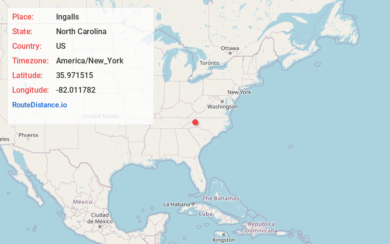
Full AddressIngalls, NC 28657
-
Coordinates35.9715145, -82.0117822
-
LocationIngalls , North Carolina , US
-
TimezoneAmerica/New_York
-
Current Local Time4:05:50 AM America/New_YorkWednesday, June 18, 2025
-
Page Views0
About Ingalls
Ingalls is an unincorporated community in Avery County, North Carolina, United States. The community is located at the intersection of US 19-E and NC 194. The Avery County Airport is located two miles south from Ingalls, towards Spruce Pine.
Nearby Places
Found 10 places within 50 miles

Three Mile
2.1 mi
3.4 km
Three Mile, NC 28657
Get directions
Pyatte
3.7 mi
6.0 km
Pyatte, NC 28657
Get directions
White Rock Ridge
3.9 mi
6.3 km
White Rock Ridge, North Carolina 28705
Get directions

Spruce Pine
4.9 mi
7.9 km
Spruce Pine, NC 28777
Get directions
Hawk
5.5 mi
8.9 km
Hawk, NC 28705
Get directions

Crossnore
5.8 mi
9.3 km
Crossnore, NC 28657
Get directions
Normanville
5.9 mi
9.5 km
Normanville, NC 28705
Get directions
Roaring Creek
6.4 mi
10.3 km
Roaring Creek, NC 28657
Get directions
Frank
6.9 mi
11.1 km
Frank, NC 28657
Get directions
Estatoe
7.6 mi
12.2 km
Estatoe, NC 28777
Get directions
Location Links
Local Weather
Weather Information
Coming soon!
Location Map
Static map view of Ingalls, North Carolina
Browse Places by Distance
Places within specific distances from Ingalls
Short Distances
Long Distances
Click any distance to see all places within that range from Ingalls. Distances shown in miles (1 mile ≈ 1.61 kilometers).