Distance to Ingalls, Kansas

Calculating Your Route
Just a moment while we process your request...
Location Information
-
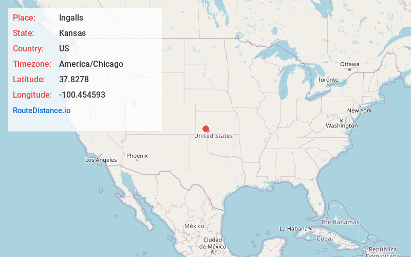
Full AddressIngalls, KS 67853
-
Coordinates37.8277995, -100.4545927
-
LocationIngalls , Kansas , US
-
TimezoneAmerica/Chicago
-
Current Local Time9:37:27 PM America/ChicagoFriday, June 20, 2025
-
Page Views0
About Ingalls
Ingalls is a city in Gray County, Kansas, United States. As of the 2020 census, the population of the city was 252. It is located along Highway 50.


Nearby Places
Found 10 places within 50 miles

Cimarron
6.0 mi
9.7 km
Cimarron, KS 67835
Get directions

Montezuma
16.0 mi
25.7 km
Montezuma, KS 67867
Get directions

Copeland
21.9 mi
35.2 km
Copeland, KS 67837
Get directions

Dodge City
24.3 mi
39.1 km
Dodge City, KS 67801
Get directions

Garden City
24.9 mi
40.1 km
Garden City, KS 67846
Get directions
Wilroads Gardens
29.8 mi
48.0 km
Wilroads Gardens, KS 67801
Get directions

Holcomb
31.1 mi
50.1 km
Holcomb, KS 67851
Get directions

Sublette
32.0 mi
51.5 km
Sublette, KS 67877
Get directions
Fowler
33.7 mi
54.2 km
Fowler, KS 67844
Get directions

Minneola
35.8 mi
57.6 km
Minneola, KS 67865
Get directions
Location Links
Local Weather
Weather Information
Coming soon!
Location Map
Static map view of Ingalls, Kansas
Browse Places by Distance
Places within specific distances from Ingalls
Short Distances
Long Distances
Click any distance to see all places within that range from Ingalls. Distances shown in miles (1 mile ≈ 1.61 kilometers).