Distance to Ingle, Kentucky

Calculating Your Route
Just a moment while we process your request...
Location Information
-
Full AddressIngle, KY 42544
-
Coordinates37.0934064, -84.859115
-
LocationIngle , Kentucky , US
-
TimezoneAmerica/New_York
-
Current Local Time5:15:17 PM America/New_YorkSaturday, May 24, 2025
-
Page Views0
Nearby Places
Found 10 places within 50 miles

Faubush
2.6 mi
4.2 km
Faubush, KY 42544
Get directions

Windsor
3.8 mi
6.1 km
Windsor, KY 42565
Get directions
Dorena
4.0 mi
6.4 km
Dorena, KY 42642
Get directions
Norfleet
5.3 mi
8.5 km
Norfleet, KY 42544
Get directions
Vinnie
5.7 mi
9.2 km
Vinnie, KY 42544
Get directions

Nancy
6.3 mi
10.1 km
Nancy, KY 42544
Get directions
Mintonville
6.4 mi
10.3 km
Mintonville, KY 42516
Get directions
Honey Acre
6.5 mi
10.5 km
Honey Acre, KY 42642
Get directions
Naomi
6.9 mi
11.1 km
Naomi, KY 42544
Get directions
Mangum
7.3 mi
11.7 km
Mangum, KY 42553
Get directions
Location Links
Local Weather
Weather Information
Coming soon!
Location Map
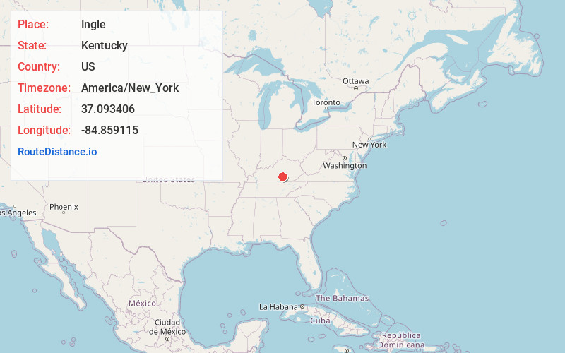
Static map view of Ingle, Kentucky
Browse Places by Distance
Places within specific distances from Ingle
Short Distances
Long Distances
Click any distance to see all places within that range from Ingle. Distances shown in miles (1 mile ≈ 1.61 kilometers).