Distance to Ingomar, Mississippi

Calculating Your Route
Just a moment while we process your request...
Location Information
-
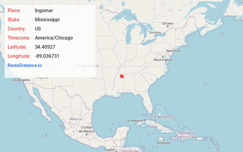
Full AddressIngomar, MS 38652
-
Coordinates34.4092697, -89.0367312
-
LocationIngomar , Mississippi , US
-
TimezoneAmerica/Chicago
-
Current Local Time4:42:50 PM America/ChicagoWednesday, June 18, 2025
-
Page Views0
About Ingomar
Ingomar is an unincorporated community located near Mississippi Highway 15 in Union County, Mississippi.
Ingomar is approximately 6 miles north of Ecru and approximately 7 miles south of New Albany.
Nearby Places
Found 10 places within 50 miles

Bald Hill
2.8 mi
4.5 km
Bald Hill, MS 38652
Get directions
Martintown
3.5 mi
5.6 km
Martintown, MS 38652
Get directions

Ecru
4.0 mi
6.4 km
Ecru, MS
Get directions
Hortontown
4.6 mi
7.4 km
Hortontown, MS 38863
Get directions
Beacon Hill
4.8 mi
7.7 km
Beacon Hill, MS 38652
Get directions
Wallerville
5.6 mi
9.0 km
Wallerville, MS 38652
Get directions
Buchannan
6.0 mi
9.7 km
Buchannan, MS 38863
Get directions

New Albany
6.1 mi
9.8 km
New Albany, MS 38652
Get directions
Poolville
6.2 mi
10.0 km
Poolville, MS 38650
Get directions
Center
7.4 mi
11.9 km
Center, MS 38828
Get directions
Location Links
Local Weather
Weather Information
Coming soon!
Location Map
Static map view of Ingomar, Mississippi
Browse Places by Distance
Places within specific distances from Ingomar
Short Distances
Long Distances
Click any distance to see all places within that range from Ingomar. Distances shown in miles (1 mile ≈ 1.61 kilometers).