Distance to Ingram, Kentucky

Calculating Your Route
Just a moment while we process your request...
Location Information
-
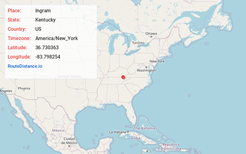
Full AddressIngram, KY 40977
-
Coordinates36.7303628, -83.7982537
-
LocationIngram , Kentucky , US
-
TimezoneAmerica/New_York
-
Current Local Time9:15:02 AM America/New_YorkWednesday, May 21, 2025
-
Page Views0
About Ingram
Ingram is an unincorporated community in Bell County, Kentucky, United States. Ingram is located 6.2 miles west-southwest of Pineville along Kentucky Route 92. Ingram has a post office with ZIP code 40955, which opened on July 15, 1881.
Nearby Places
Found 10 places within 50 miles

Wheeler
2.5 mi
4.0 km
Wheeler, KY 40906
Get directions
Kayjay
3.0 mi
4.8 km
Kayjay, KY 40906
Get directions
Olcott
3.6 mi
5.8 km
Olcott, KY 40977
Get directions
Davisburg
3.8 mi
6.1 km
Davisburg, KY 40977
Get directions
Clear Creek Springs
4.0 mi
6.4 km
Clear Creek Springs, KY 40977
Get directions
Trosper
4.2 mi
6.8 km
Trosper, KY 40906
Get directions

Fourmile
5.4 mi
8.7 km
Fourmile, KY 40939
Get directions
Chenoa
5.5 mi
8.9 km
Chenoa, KY 40977
Get directions

Pineville
6.1 mi
9.8 km
Pineville, KY 40977
Get directions
Wasioto
6.2 mi
10.0 km
Wasioto, KY 40977
Get directions
Location Links
Local Weather
Weather Information
Coming soon!
Location Map
Static map view of Ingram, Kentucky
Browse Places by Distance
Places within specific distances from Ingram
Short Distances
Long Distances
Click any distance to see all places within that range from Ingram. Distances shown in miles (1 mile ≈ 1.61 kilometers).