Distance to Ink, Missouri

Calculating Your Route
Just a moment while we process your request...
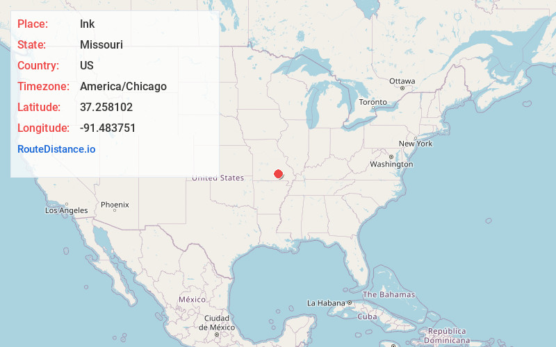
Location Information
-
Full AddressInk, MO 65466
-
Coordinates37.2581019, -91.4837507
-
LocationInk , Missouri , US
-
TimezoneAmerica/Chicago
-
Current Local Time2:35:20 PM America/ChicagoThursday, May 22, 2025
-
Page Views0
About Ink
Ink is a ghost town in Shannon County, Missouri, United States. It is located at the intersection of Missouri Route N and county road 328. It is located on the north side of Spring Valley Creek just south of the Sunklands Conservation Area.

Nearby Places
Found 10 places within 50 miles

Venice
5.8 mi
9.3 km
Venice, Eminence Township, MO 65466
Get directions

Alley Spring
8.2 mi
13.2 km
Alley Spring, MO 65466
Get directions
Akers
9.0 mi
14.5 km
Akers, MO 65501
Get directions

Eminence
10.2 mi
16.4 km
Eminence, MO 65466
Get directions
Rector
10.4 mi
16.7 km
Rector, Newton Township, MO 65560
Get directions

Summersville
11.0 mi
17.7 km
Summersville, MO 65571
Get directions
Delaware
11.5 mi
18.5 km
Delaware, MO 65466
Get directions
Midvale
13.9 mi
22.4 km
Midvale, Carroll Township, MO 65571
Get directions
Munsell
14.0 mi
22.5 km
Munsell, Eminence Township, MO 65466
Get directions
Pine Crest
15.0 mi
24.1 km
Pine Crest, Date Township, MO 65571
Get directions
Location Links
Local Weather
Weather Information
Coming soon!
Location Map
Static map view of Ink, Missouri
Browse Places by Distance
Places within specific distances from Ink
Short Distances
Long Distances
Click any distance to see all places within that range from Ink. Distances shown in miles (1 mile ≈ 1.61 kilometers).