Distance to Inskip, California

Calculating Your Route
Just a moment while we process your request...
Location Information
-
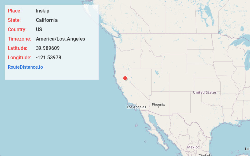
Full AddressInskip, CA 95954
-
Coordinates39.989609, -121.53978
-
LocationInskip , California , US
-
TimezoneAmerica/Los_Angeles
-
Current Local Time11:37:51 PM America/Los_AngelesThursday, May 29, 2025
-
Page Views0
About Inskip
Inskip is a ghost town in Butte County, California. It lies at an elevation of 4,777 feet in the northern Sierra Nevada near Lassen National Forest. The main surviving building is the Inskip Hotel, which is listed on the National Register of Historic Places.


Nearby Places
Found 10 places within 50 miles

Lomo
5.3 mi
8.5 km
Lomo, CA 95942
Get directions

Stirling City
5.9 mi
9.5 km
Stirling City, CA
Get directions

Butte Meadows
6.3 mi
10.1 km
Butte Meadows, CA 95942
Get directions
Jonesville
9.3 mi
15.0 km
Jonesville, CA 95942
Get directions

Forest Ranch
11.0 mi
17.7 km
Forest Ranch, CA 95942
Get directions
Polk Springs
11.0 mi
17.7 km
Polk Springs, CA
Get directions

Magalia
12.4 mi
20.0 km
Magalia, CA
Get directions

Cohasset
12.7 mi
20.4 km
Cohasset, CA 95973
Get directions

Tobin
12.8 mi
20.6 km
Tobin, CA 95915
Get directions

Concow
13.2 mi
21.2 km
Concow, CA 95965
Get directions
Location Links
Local Weather
Weather Information
Coming soon!
Location Map
Static map view of Inskip, California
Browse Places by Distance
Places within specific distances from Inskip
Short Distances
Long Distances
Click any distance to see all places within that range from Inskip. Distances shown in miles (1 mile ≈ 1.61 kilometers).