Distance to Inyokern, California

Calculating Your Route
Just a moment while we process your request...
Location Information
-
Full AddressInyokern, CA
-
Coordinates35.6469634, -117.8123827
-
LocationInyokern , California , US
-
TimezoneAmerica/Los_Angeles
-
Current Local Time6:08:07 PM America/Los_AngelesThursday, June 5, 2025
-
Page Views0
About Inyokern
Inyokern is a census-designated place in Kern County, California, United States. Its name derives from its location near the border between Inyo and Kern Counties. Inyokern is located 8 miles west of Ridgecrest, at an elevation of 2,434 feet. It is on the western side of the Indian Wells Valley.


Nearby Places
Found 10 places within 50 miles

China Lake Acres
3.0 mi
4.8 km
China Lake Acres, CA 93555
Get directions

Ridgecrest
8.1 mi
13.0 km
Ridgecrest, CA 93555
Get directions

Searles Valley
24.4 mi
39.3 km
Searles Valley, CA 93562
Get directions

Weldon
26.9 mi
43.3 km
Weldon, CA
Get directions

Squirrel Mountain Valley
33.6 mi
54.1 km
Squirrel Mountain Valley, CA 93240
Get directions

Wofford Heights
36.4 mi
58.6 km
Wofford Heights, CA 93285
Get directions

Lake Isabella
37.2 mi
59.9 km
Lake Isabella, CA
Get directions

California City
37.3 mi
60.0 km
California City, CA
Get directions

Bodfish
38.3 mi
61.6 km
Bodfish, CA 93205
Get directions

North Edwards
43.6 mi
70.2 km
North Edwards, CA 93523
Get directions
Location Links
Local Weather
Weather Information
Coming soon!
Location Map
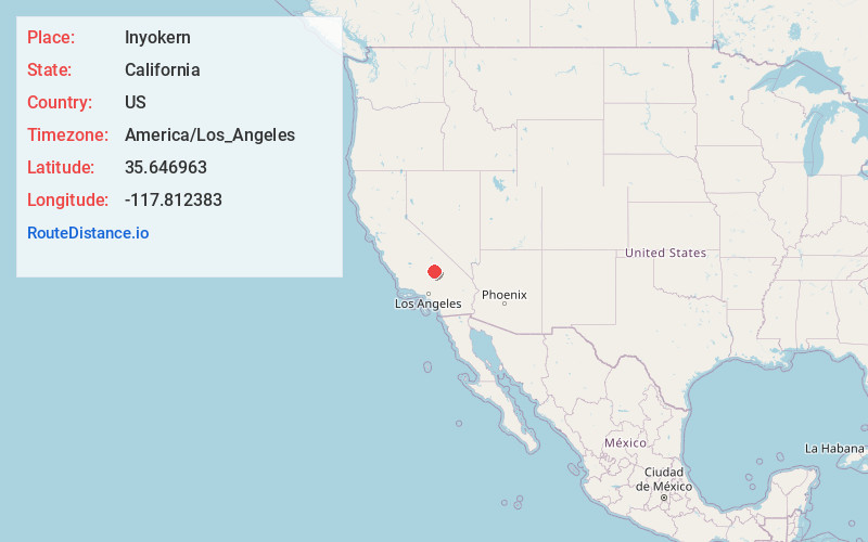
Static map view of Inyokern, California
Browse Places by Distance
Places within specific distances from Inyokern
Short Distances
Long Distances
Click any distance to see all places within that range from Inyokern. Distances shown in miles (1 mile ≈ 1.61 kilometers).