Distance to Iredell County, North Carolina

Calculating Your Route
Just a moment while we process your request...
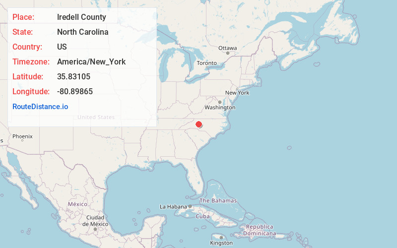
Location Information
-
Full AddressIredell County, NC
-
Coordinates35.8310501, -80.8986502
-
LocationNorth Carolina , US
-
TimezoneAmerica/New_York
-
Current Local Time1:53:23 AM America/New_YorkWednesday, June 18, 2025
-
Page Views0
About Iredell County
Iredell County is a county located in the U.S. state of North Carolina. As of the 2020 census, the population was 186,693. Its county seat is Statesville, and its largest community is Mooresville. The county was formed in 1788, subtracted from Rowan County.


Nearby Places
Found 10 places within 50 miles

Statesville
3.3 mi
5.3 km
Statesville, NC
Get directions

Loray
4.0 mi
6.4 km
Loray, NC 28625
Get directions

Charles
5.9 mi
9.5 km
Charles, NC 28625
Get directions
Celeste Hinkel
6.7 mi
10.8 km
Celeste Hinkel, NC 28677
Get directions
Kyles Crossroads
7.1 mi
11.4 km
Kyles Crossroads, NC 28677
Get directions
Turnersburg
7.4 mi
11.9 km
Turnersburg, NC 28625
Get directions
Central
8.3 mi
13.4 km
Central, NC 28625
Get directions

Stony Point
8.6 mi
13.8 km
Stony Point, NC 28678
Get directions
Troutman
8.9 mi
14.3 km
Troutman, NC
Get directions
Eufola
9.0 mi
14.5 km
Eufola, NC 28677
Get directions
Location Links
Local Weather
Weather Information
Coming soon!
Location Map
Static map view of Iredell County, North Carolina
Browse Places by Distance
Places within specific distances from Iredell County
Short Distances
Long Distances
Click any distance to see all places within that range from Iredell County. Distances shown in miles (1 mile ≈ 1.61 kilometers).