Distance to Irene, Texas

Calculating Your Route
Just a moment while we process your request...
Location Information
-
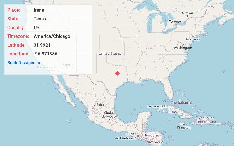
Full AddressIrene, TX 76666
-
Coordinates31.9921, -96.8713855
-
LocationIrene , Texas , US
-
TimezoneAmerica/Chicago
-
Current Local Time1:18:10 PM America/ChicagoTuesday, June 24, 2025
-
Page Views0
About Irene
Irene is an unincorporated community in Hill County, Texas, United States.
It is located approximately twelve miles southeast of Hillsboro, near the intersection of Farm to Market Road 308 and 1946.
Irene had an estimated population of 170 in 2000.
Nearby Places
Found 10 places within 50 miles

Emmett
4.6 mi
7.4 km
Emmett, TX 76641
Get directions

Mertens
4.8 mi
7.7 km
Mertens, TX 76666
Get directions

Malone
5.3 mi
8.5 km
Malone, TX 76660
Get directions

Frost
7.2 mi
11.6 km
Frost, TX 76641
Get directions

Bynum
7.9 mi
12.7 km
Bynum, TX 76631
Get directions

Penelope
9.7 mi
15.6 km
Penelope, TX 76676
Get directions

Milford
10.1 mi
16.3 km
Milford, TX 76670
Get directions

Hubbard
10.8 mi
17.4 km
Hubbard, TX 76648
Get directions
Navarro Mills
11.3 mi
18.2 km
Navarro Mills, TX 76679
Get directions

Dawson
11.4 mi
18.3 km
Dawson, TX 76639
Get directions
Location Links
Local Weather
Weather Information
Coming soon!
Location Map
Static map view of Irene, Texas
Browse Places by Distance
Places within specific distances from Irene
Short Distances
Long Distances
Click any distance to see all places within that range from Irene. Distances shown in miles (1 mile ≈ 1.61 kilometers).