Distance to Irmulco, California

Calculating Your Route
Just a moment while we process your request...
Location Information
-
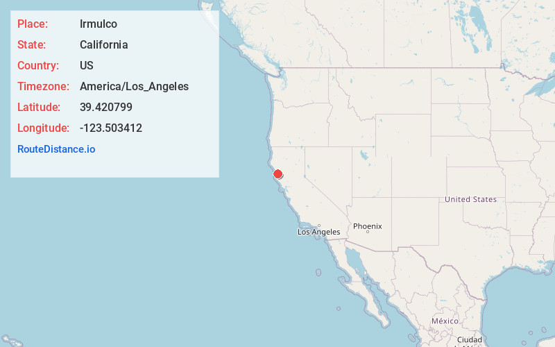
Full AddressIrmulco, CA 95490
-
Coordinates39.4207987, -123.503412
-
LocationIrmulco , California , US
-
TimezoneAmerica/Los_Angeles
-
Current Local Time10:59:41 PM America/Los_AngelesFriday, June 20, 2025
-
Page Views0
About Irmulco
Irmulco is a former logging town in Mendocino County, California. It was located on the California Western Railroad 12 miles north-northeast of Comptche, at an elevation of 436 feet.
The name comes from an initialism of the Irvine and Muir Lumber Company.
Nearby Places
Found 10 places within 50 miles

Shake City
2.1 mi
3.4 km
Shake City, CA 95490
Get directions
Northspur
2.5 mi
4.0 km
Northspur, CA 95490
Get directions
Clare Mill
4.1 mi
6.6 km
Clare Mill, CA 95490
Get directions

Brooktrails
7.0 mi
11.3 km
Brooktrails, CA 95490
Get directions

Willits
7.9 mi
12.7 km
Willits, CA 95490
Get directions
Whiskey Springs
9.6 mi
15.4 km
Whiskey Springs, CA 95437
Get directions

Comptche
11.8 mi
19.0 km
Comptche, CA 95427
Get directions
Ridge
12.3 mi
19.8 km
Ridge, CA 95490
Get directions
Farley
15.2 mi
24.5 km
Farley, CA 95490
Get directions
Orrs Springs
15.3 mi
24.6 km
Orrs Springs, CA 95482
Get directions
Location Links
Local Weather
Weather Information
Coming soon!
Location Map
Static map view of Irmulco, California
Browse Places by Distance
Places within specific distances from Irmulco
Short Distances
Long Distances
Click any distance to see all places within that range from Irmulco. Distances shown in miles (1 mile ≈ 1.61 kilometers).