Distance to Iron Crossroads, South Carolina

Calculating Your Route
Just a moment while we process your request...
Location Information
-
Full AddressIron Crossroads, SC 29474
-
Coordinates32.8729515, -80.4887135
-
LocationSouth Carolina , US
-
TimezoneAmerica/New_York
-
Current Local Time3:43:45 PM America/New_YorkFriday, June 6, 2025
-
Page Views0
Nearby Places
Found 10 places within 50 miles

Cottageville
4.4 mi
7.1 km
Cottageville, SC 29435
Get directions

Lowndes Landing
4.9 mi
7.9 km
Lowndes Landing, SC 29426
Get directions
Pringle Bend
6.0 mi
9.7 km
Pringle Bend, SC 29488
Get directions

Jacksonboro
7.4 mi
11.9 km
Jacksonboro, SC
Get directions
Parkers Ferry
9.5 mi
15.3 km
Parkers Ferry, SC 29426
Get directions
Ritter
10.0 mi
16.1 km
Ritter, SC 29488
Get directions

Walterboro
10.6 mi
17.1 km
Walterboro, SC 29488
Get directions
Givhans
13.0 mi
20.9 km
Givhans, SC 29472
Get directions
Warren Crossroads
13.0 mi
20.9 km
Warren Crossroads, SC 29470
Get directions

Adams Run
13.3 mi
21.4 km
Adams Run, SC
Get directions
Location Links
Local Weather
Weather Information
Coming soon!
Location Map
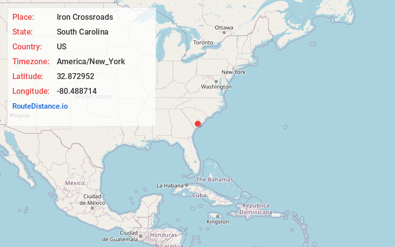
Static map view of Iron Crossroads, South Carolina
Browse Places by Distance
Places within specific distances from Iron Crossroads
Short Distances
Long Distances
Click any distance to see all places within that range from Iron Crossroads. Distances shown in miles (1 mile ≈ 1.61 kilometers).