Distance to Ironhill, North Carolina

Calculating Your Route
Just a moment while we process your request...
Location Information
-
Full AddressIronhill, NC 28463
-
Coordinates34.1385032, -78.7830757
-
LocationIronhill , North Carolina , US
-
TimezoneAmerica/New_York
-
Current Local Time5:32:03 AM America/New_YorkWednesday, June 18, 2025
-
Page Views0
Nearby Places
Found 10 places within 50 miles

Mollie
2.6 mi
4.2 km
Mollie, NC 28432
Get directions
New Life
3.3 mi
5.3 km
New Life, NC 28463
Get directions
Sidney
3.4 mi
5.5 km
Sidney, NC 28432
Get directions
East Tabor
4.0 mi
6.4 km
East Tabor, Tabor City, NC 28463
Get directions
Guide
5.0 mi
8.0 km
Guide, NC 28463
Get directions
Cribb Town
5.1 mi
8.2 km
Cribb Town, NC 28431
Get directions

Tabor City
5.4 mi
8.7 km
Tabor City, NC 28463
Get directions
Clarendon
6.1 mi
9.8 km
Clarendon, NC 28463
Get directions

Nakina
6.6 mi
10.6 km
Nakina, NC 28455
Get directions
Jernigans Crossroads
7.0 mi
11.3 km
Jernigans Crossroads, SC 29569
Get directions
Location Links
Local Weather
Weather Information
Coming soon!
Location Map
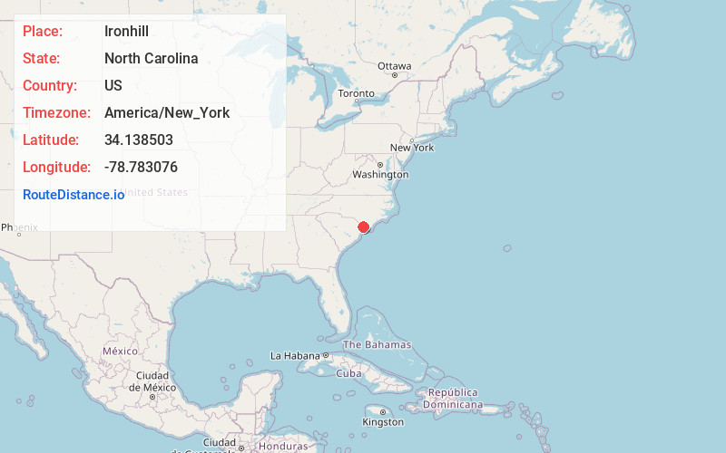
Static map view of Ironhill, North Carolina
Browse Places by Distance
Places within specific distances from Ironhill
Short Distances
Long Distances
Click any distance to see all places within that range from Ironhill. Distances shown in miles (1 mile ≈ 1.61 kilometers).