Distance to Ironton, Ohio

Calculating Your Route
Just a moment while we process your request...
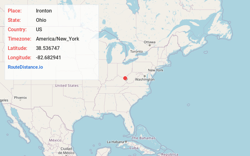
Location Information
-
Full AddressIronton, OH 45638
-
Coordinates38.5367471, -82.6829406
-
LocationIronton , Ohio , US
-
TimezoneAmerica/New_York
-
Current Local Time5:17:54 PM America/New_YorkWednesday, June 18, 2025
-
Website
-
Page Views0
About Ironton
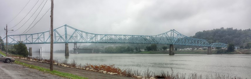
Ironton is a city in Lawrence County, Ohio, United States, and its county seat. Its population was 10,571 at the 2020 census. Located in southernmost Ohio along the Ohio River, it is 20 miles northwest of Huntington, West Virginia, within the Huntington–Ashland metropolitan area.


Nearby Places
Found 5 places within 50 miles


Location Links
Local Weather
Weather Information
Coming soon!
Location Map
Static map view of Ironton, Ohio
Browse Places by Distance
Places within specific distances from Ironton
Short Distances
Long Distances
Click any distance to see all places within that range from Ironton. Distances shown in miles (1 mile ≈ 1.61 kilometers).