Distance to Ironton, Louisiana

Calculating Your Route
Just a moment while we process your request...
Location Information
-
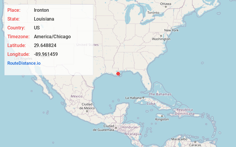
Full AddressIronton, LA 70083
-
Coordinates29.6488239, -89.961459
-
NeighborhoodIronton
-
LocationIronton , Louisiana , US
-
TimezoneAmerica/Chicago
-
Current Local Time1:17:53 AM America/ChicagoMonday, May 19, 2025
-
Page Views0
About Ironton
Ironton is an unincorporated community in Plaquemines Parish, Louisiana, United States.
Ironton is on the west bank of the Mississippi River, between Louisiana Highway 23 and the river. The community has historically had a majority-black population.
Nearby Places
Found 10 places within 50 miles

Myrtle Grove
1.1 mi
1.8 km
Myrtle Grove, LA 70083
Get directions
St Rosalie
1.1 mi
1.8 km
St Rosalie, LA 70037
Get directions
Alliance
3.0 mi
4.8 km
Alliance, LA 70037
Get directions
Harlem
4.1 mi
6.6 km
Harlem, LA 70040
Get directions
Bellevue
4.8 mi
7.7 km
Bellevue, LA 70083
Get directions

Deer Range
4.8 mi
7.7 km
Deer Range, LA 70083
Get directions
Nero
6.2 mi
10.0 km
Nero, LA 70040
Get directions
Wills Point
7.3 mi
11.7 km
Wills Point, LA 70040
Get directions
Ollie
7.3 mi
11.7 km
Ollie, LA 70037
Get directions
Davant
7.3 mi
11.7 km
Davant, LA 70040
Get directions
Location Links
Local Weather
Weather Information
Coming soon!
Location Map
Static map view of Ironton, Louisiana
Browse Places by Distance
Places within specific distances from Ironton
Short Distances
Long Distances
Click any distance to see all places within that range from Ironton. Distances shown in miles (1 mile ≈ 1.61 kilometers).