Distance to Ironton, Michigan

Calculating Your Route
Just a moment while we process your request...
Location Information
-
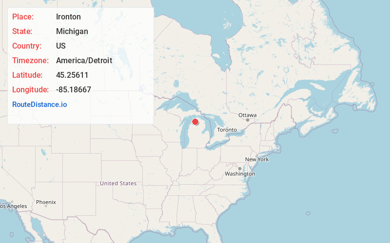
Full AddressIronton, MI
-
Coordinates45.25611, -85.18667
-
LocationIronton , Michigan , US
-
TimezoneAmerica/Detroit
-
Current Local Time2:54:46 AM America/DetroitSunday, June 1, 2025
-
Page Views0
About Ironton
Ironton is an unincorporated community and census-designated place in Charlevoix County in the U.S. state of Michigan. The population of the CDP was 148 at the 2020 census. It is located within Eveline Township on a narrow portion of Lake Charlevoix that is traversed by the Ironton Ferry.

Nearby Places
Found 10 places within 50 miles

Charlevoix
5.5 mi
8.9 km
Charlevoix, MI 49720
Get directions

Horton Bay
5.6 mi
9.0 km
Horton Bay, MI
Get directions

Advance
5.8 mi
9.3 km
Advance, MI
Get directions

Ellsworth
6.9 mi
11.1 km
Ellsworth, MI 49729
Get directions

East Jordan
7.4 mi
11.9 km
East Jordan, MI 49727
Get directions

Bay Shore
8.3 mi
13.4 km
Bay Shore, MI
Get directions

Boyne City
8.8 mi
14.2 km
Boyne City, MI 49712
Get directions

Walloon Lake
12.3 mi
19.8 km
Walloon Lake, MI
Get directions

Eastport
13.0 mi
20.9 km
Eastport, MI
Get directions

Central Lake
13.4 mi
21.6 km
Central Lake, MI 49622
Get directions
Location Links
Local Weather
Weather Information
Coming soon!
Location Map
Static map view of Ironton, Michigan
Browse Places by Distance
Places within specific distances from Ironton
Short Distances
Long Distances
Click any distance to see all places within that range from Ironton. Distances shown in miles (1 mile ≈ 1.61 kilometers).