Distance to Isabel, Kansas

Calculating Your Route
Just a moment while we process your request...
Location Information
-
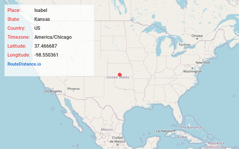
Full AddressIsabel, KS 67065
-
Coordinates37.4666865, -98.550361
-
LocationIsabel , Kansas , US
-
TimezoneAmerica/Chicago
-
Current Local Time9:27:16 PM America/ChicagoWednesday, June 18, 2025
-
Page Views0
About Isabel
Isabel is a city in Valley Township, Barber County, Kansas, United States. As of the 2020 census, the population of the city was 68.


Nearby Places
Found 10 places within 50 miles

Medicine Lodge
12.9 mi
20.8 km
Medicine Lodge, KS 67104
Get directions

Cunningham
13.9 mi
22.4 km
Cunningham, KS 67035
Get directions

Coats
15.3 mi
24.6 km
Coats, KS 67028
Get directions

Pratt
16.0 mi
25.7 km
Pratt, KS
Get directions
Preston
20.2 mi
32.5 km
Preston, KS 67583
Get directions
Iuka
20.8 mi
33.5 km
Iuka, KS
Get directions
Spivey
21.3 mi
34.3 km
Spivey, KS 67142
Get directions

Attica
23.6 mi
38.0 km
Attica, KS 67009
Get directions

Turon
24.5 mi
39.4 km
Turon, KS 67583
Get directions

Kingman
26.9 mi
43.3 km
Kingman, KS 67068
Get directions
Location Links
Local Weather
Weather Information
Coming soon!
Location Map
Static map view of Isabel, Kansas
Browse Places by Distance
Places within specific distances from Isabel
Short Distances
Long Distances
Click any distance to see all places within that range from Isabel. Distances shown in miles (1 mile ≈ 1.61 kilometers).