Distance to Island Falls, Maine

Calculating Your Route
Just a moment while we process your request...
Location Information
-
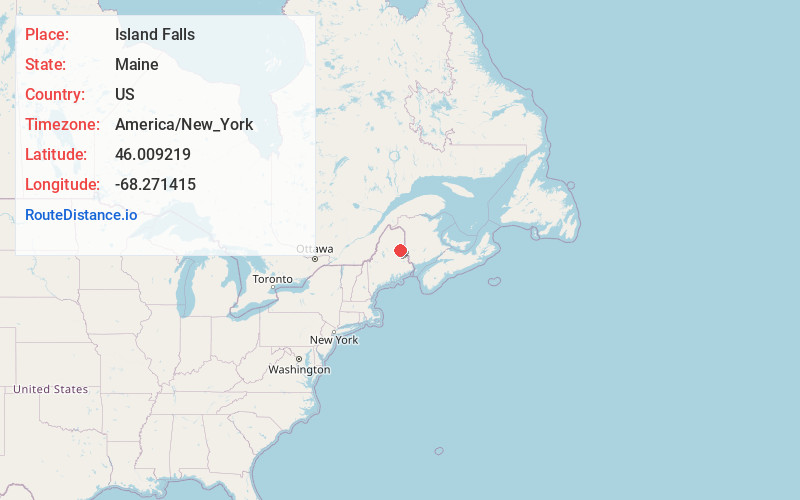
Full AddressIsland Falls, ME 04747
-
Coordinates46.0092191, -68.2714149
-
LocationIsland Falls , Maine , US
-
TimezoneAmerica/New_York
-
Current Local Time11:19:00 AM America/New_YorkThursday, June 19, 2025
-
Page Views0
About Island Falls
Island Falls is a town in Aroostook County, Maine, United States. The population was 758 at the 2020 census. The primary village of Island Falls in the town is situated at a falls in the West Branch Mattawamkeag River.


Nearby Places
Found 10 places within 50 miles

Patten
8.4 mi
13.5 km
Patten, ME 04765
Get directions

Sherman
11.9 mi
19.2 km
Sherman, ME
Get directions

Linneus
15.1 mi
24.3 km
Linneus, ME
Get directions

Hodgdon
20.5 mi
33.0 km
Hodgdon, ME 04730
Get directions

Houlton
22.1 mi
35.6 km
Houlton, ME 04730
Get directions

Littleton
25.7 mi
41.4 km
Littleton, ME 04730
Get directions
East Millinocket
30.0 mi
48.3 km
East Millinocket, ME
Get directions
Medway
30.1 mi
48.4 km
Medway, ME 04460
Get directions

Millinocket
32.2 mi
51.8 km
Millinocket, ME
Get directions
Blaine
39.3 mi
63.2 km
Blaine, ME
Get directions
Location Links
Local Weather
Weather Information
Coming soon!
Location Map
Static map view of Island Falls, Maine
Browse Places by Distance
Places within specific distances from Island Falls
Short Distances
Long Distances
Click any distance to see all places within that range from Island Falls. Distances shown in miles (1 mile ≈ 1.61 kilometers).