Distance to Islandia, Florida

Calculating Your Route
Just a moment while we process your request...
Location Information
-
Full AddressIslandia, FL
-
Coordinates25.3733243, -80.2447506
-
LocationIslandia , Florida , US
-
TimezoneAmerica/New_York
-
Current Local Time10:31:56 PM America/New_YorkMonday, June 2, 2025
-
Page Views0
About Islandia
Islandia is an unincorporated community and former city in Miami-Dade County, Florida, United States. It is located in the upper Florida Keys on the islands of Elliott Key and other nearby keys, such as Totten Key. It was the only municipality in the Florida Keys not located in neighboring Monroe County.


Nearby Places
Found 10 places within 50 miles

Grayvik
4.7 mi
7.6 km
Grayvik, North Key Largo, FL 33037
Get directions

North Key Largo
8.8 mi
14.2 km
North Key Largo, FL 33037
Get directions

Leisure City
14.3 mi
23.0 km
Leisure City, FL
Get directions

Naranja
15.0 mi
24.1 km
Naranja, FL 33032
Get directions

Saga Bay
15.0 mi
24.1 km
Saga Bay, Cutler Bay, FL 33189
Get directions

Princeton
15.3 mi
24.6 km
Princeton, FL
Get directions
Franjo
15.3 mi
24.6 km
Franjo, Cutler Bay, FL 33189
Get directions

Florida City
15.5 mi
24.9 km
Florida City, FL
Get directions

Cutler Bay
15.7 mi
25.3 km
Cutler Bay, FL
Get directions
Garden Cove
15.8 mi
25.4 km
Garden Cove, Key Largo, FL 33037
Get directions
Location Links
Local Weather
Weather Information
Coming soon!
Location Map
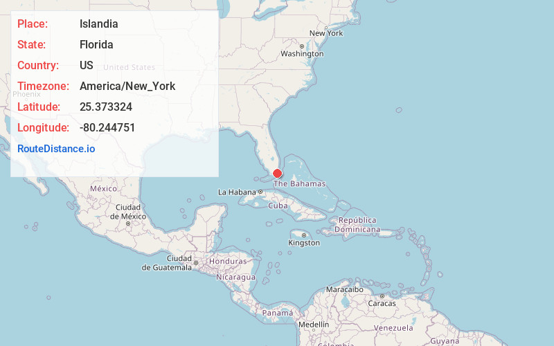
Static map view of Islandia, Florida
Browse Places by Distance
Places within specific distances from Islandia
Short Distances
Long Distances
Click any distance to see all places within that range from Islandia. Distances shown in miles (1 mile ≈ 1.61 kilometers).