Distance to Isle of Hope, Georgia

Calculating Your Route
Just a moment while we process your request...
Location Information
-
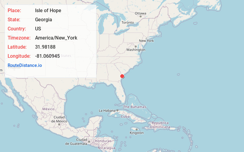
Full AddressIsle of Hope, GA 31406
-
Coordinates31.9818802, -81.0609446
-
LocationIsle of Hope , Georgia , US
-
TimezoneAmerica/New_York
-
Current Local Time2:43:30 PM America/New_YorkTuesday, June 24, 2025
-
Page Views0
About Isle of Hope
Isle of Hope is an unincorporated community and census-designated place in Chatham County, Georgia, United States. It is part of the Savannah Metropolitan Statistical Area, and at the 2020 U.S. census its population was 2,357.

Nearby Places
Found 10 places within 50 miles

Skidaway Island
3.3 mi
5.3 km
Skidaway Island, GA
Get directions

Thunderbolt
3.6 mi
5.8 km
Thunderbolt, GA
Get directions

Montgomery
4.6 mi
7.4 km
Montgomery, GA
Get directions

Savannah
7.1 mi
11.4 km
Savannah, GA
Get directions

Garden City
10.7 mi
17.2 km
Garden City, GA
Get directions

Tybee Island
12.7 mi
20.4 km
Tybee Island, GA
Get directions

Port Wentworth
13.0 mi
20.9 km
Port Wentworth, GA
Get directions

Pooler
14.3 mi
23.0 km
Pooler, GA
Get directions

Richmond Hill
14.5 mi
23.3 km
Richmond Hill, GA
Get directions

Bloomingdale
17.4 mi
28.0 km
Bloomingdale, GA
Get directions
Location Links
Local Weather
Weather Information
Coming soon!
Location Map
Static map view of Isle of Hope, Georgia
Browse Places by Distance
Places within specific distances from Isle of Hope
Short Distances
Long Distances
Click any distance to see all places within that range from Isle of Hope. Distances shown in miles (1 mile ≈ 1.61 kilometers).