Distance to Istachatta, Florida

Calculating Your Route
Just a moment while we process your request...
Location Information
-
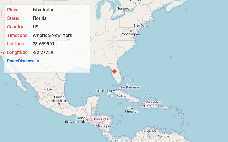
Full AddressIstachatta, FL
-
Coordinates28.6599909, -82.2775901
-
LocationIstachatta , Florida , US
-
TimezoneAmerica/New_York
-
Current Local Time6:58:08 AM America/New_YorkTuesday, June 3, 2025
-
Page Views0
About Istachatta
Istachatta is an unincorporated community and census-designated place in Hernando County, Florida, United States. The population was 116 at the 2010 census, up from 65 at the 2000 census. The name "Istachatta" is derived from a Seminole word meaning "man snake".


Nearby Places
Found 10 places within 50 miles

Nobleton
1.3 mi
2.1 km
Nobleton, FL
Get directions

Lake Lindsey
5.4 mi
8.7 km
Lake Lindsey, FL 34601
Get directions

Floral City
6.3 mi
10.1 km
Floral City, FL 34436
Get directions

Hill 'N Dale
9.5 mi
15.3 km
Hill 'N Dale, FL 34602
Get directions

Brooksville
9.9 mi
15.9 km
Brooksville, FL
Get directions

North Brooksville
9.9 mi
15.9 km
North Brooksville, FL 34601
Get directions

Bushnell
10.0 mi
16.1 km
Bushnell, FL
Get directions
South Brooksville
10.7 mi
17.2 km
South Brooksville, FL
Get directions

Spring Lake
11.6 mi
18.7 km
Spring Lake, FL
Get directions

Lake Panasoffkee
12.4 mi
20.0 km
Lake Panasoffkee, FL 33538
Get directions
Location Links
Local Weather
Weather Information
Coming soon!
Location Map
Static map view of Istachatta, Florida
Browse Places by Distance
Places within specific distances from Istachatta
Short Distances
Long Distances
Click any distance to see all places within that range from Istachatta. Distances shown in miles (1 mile ≈ 1.61 kilometers).