Distance to Ivylog, Georgia

Calculating Your Route
Just a moment while we process your request...
Location Information
-
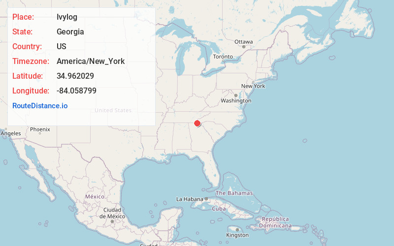
Full AddressIvylog, GA 30512
-
Coordinates34.9620285, -84.0587988
-
LocationIvylog , Georgia , US
-
TimezoneAmerica/New_York
-
Current Local Time9:44:40 AM America/New_YorkWednesday, June 18, 2025
-
Page Views0
About Ivylog
Ivy Log is a town in Union County, Georgia, United States. The original town centered on Casteel Mill at the mouth of Ivy Log Creek. Ivy Log is located along US 19/US129/SR 11 at the east end of SR 325.
Nearby Places
Found 10 places within 50 miles

Pinelog
5.7 mi
9.2 km
Pinelog, NC 28902
Get directions
Notalee Orchards
6.5 mi
10.5 km
Notalee Orchards, GA 30512
Get directions

Letitia
7.6 mi
12.2 km
Letitia, NC 28906
Get directions

Brasstown
7.8 mi
12.6 km
Brasstown, NC 28902
Get directions

Blairsville
8.2 mi
13.2 km
Blairsville, GA 30512
Get directions
Wright Mill
8.4 mi
13.5 km
Wright Mill, GA 30560
Get directions
Bunker Hill
8.5 mi
13.7 km
Bunker Hill, GA 30512
Get directions

Murphy
8.8 mi
14.2 km
Murphy, NC 28906
Get directions
Loving
9.6 mi
15.4 km
Loving, GA 30560
Get directions
Texana
9.8 mi
15.8 km
Texana, NC 28906
Get directions
Location Links
Local Weather
Weather Information
Coming soon!
Location Map
Static map view of Ivylog, Georgia
Browse Places by Distance
Places within specific distances from Ivylog
Short Distances
Long Distances
Click any distance to see all places within that range from Ivylog. Distances shown in miles (1 mile ≈ 1.61 kilometers).