Distance to Jacks Creek, Tennessee

Calculating Your Route
Just a moment while we process your request...
Location Information
-
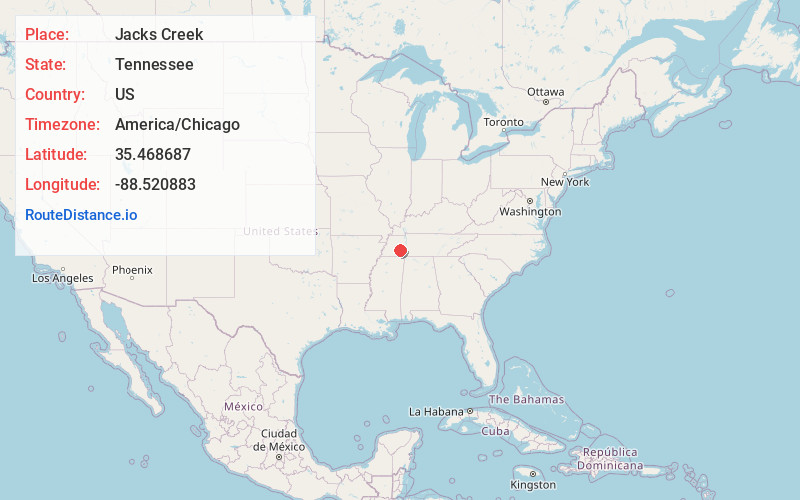
Full AddressJacks Creek, TN
-
Coordinates35.4686868, -88.5208825
-
LocationJacks Creek , Tennessee , US
-
TimezoneAmerica/Chicago
-
Current Local Time12:00:47 AM America/ChicagoSunday, June 1, 2025
-
Page Views0
About Jacks Creek
Jacks Creek is an unincorporated community in Chester County, Tennessee, United States.
Nearby Places
Found 10 places within 50 miles

Enville
7.8 mi
12.6 km
Enville, TN 38332
Get directions

Huron
8.3 mi
13.4 km
Huron, TN 38345
Get directions

Finger
8.8 mi
14.2 km
Finger, TN 38334
Get directions
Luray
9.0 mi
14.5 km
Luray, TN
Get directions

Beech Bluff
10.8 mi
17.4 km
Beech Bluff, TN 38313
Get directions
Milledgeville
10.9 mi
17.5 km
Milledgeville, TN
Get directions

Pinson
11.3 mi
18.2 km
Pinson, TN 38366
Get directions
Sardis
12.9 mi
20.8 km
Sardis, TN
Get directions
Morris Chapel
13.8 mi
22.2 km
Morris Chapel, TN 38361
Get directions

Lexington
14.5 mi
23.3 km
Lexington, TN 38351
Get directions
Location Links
Local Weather
Weather Information
Coming soon!
Location Map
Static map view of Jacks Creek, Tennessee
Browse Places by Distance
Places within specific distances from Jacks Creek
Short Distances
Long Distances
Click any distance to see all places within that range from Jacks Creek. Distances shown in miles (1 mile ≈ 1.61 kilometers).