Distance to Jacksboro, Texas

Calculating Your Route
Just a moment while we process your request...
Location Information
-
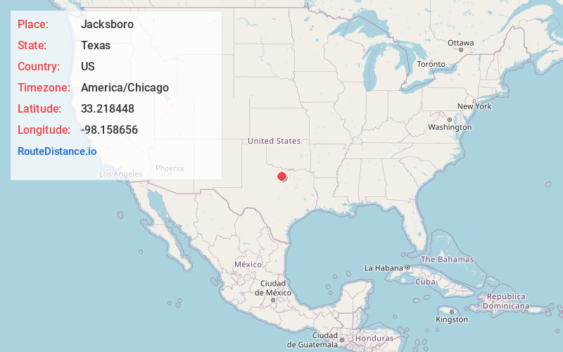
Full AddressJacksboro, TX 76458
-
Coordinates33.2184477, -98.1586558
-
LocationJacksboro , Texas , US
-
TimezoneAmerica/Chicago
-
Current Local Time11:00:30 AM America/ChicagoFriday, June 20, 2025
-
Page Views0
About Jacksboro
Jacksboro is a city in Jack County, Texas, in the United States. Its population was 4,184 at the 2020 census. U.S. Highways 281 and 380, and Texas State Highways 114 and 199 intersect at Jacksboro, which is the county seat of Jack County.


Nearby Places
Found 10 places within 50 miles

Bridgeport
23.4 mi
37.7 km
Bridgeport, TX 76426
Get directions

Graham
26.1 mi
42.0 km
Graham, TX 76450
Get directions

Mineral Wells
28.5 mi
45.9 km
Mineral Wells, TX
Get directions

Bowie
29.6 mi
47.6 km
Bowie, TX 76230
Get directions

Decatur
33.1 mi
53.3 km
Decatur, TX 76234
Get directions

Weatherford
38.0 mi
61.2 km
Weatherford, TX
Get directions

Briar
38.8 mi
62.4 km
Briar, TX
Get directions

Azle
41.9 mi
67.4 km
Azle, TX 76020
Get directions

Willow Park
43.1 mi
69.4 km
Willow Park, TX
Get directions

Aledo
48.4 mi
77.9 km
Aledo, TX 76008
Get directions
Location Links
Local Weather
Weather Information
Coming soon!
Location Map
Static map view of Jacksboro, Texas
Browse Places by Distance
Places within specific distances from Jacksboro
Short Distances
Long Distances
Click any distance to see all places within that range from Jacksboro. Distances shown in miles (1 mile ≈ 1.61 kilometers).