Distance to Jacksontown, Ohio

Calculating Your Route
Just a moment while we process your request...
Location Information
-
Full AddressJacksontown, OH
-
Coordinates39.9595093, -82.4129309
-
LocationJacksontown , Ohio , US
-
TimezoneAmerica/New_York
-
Current Local Time2:25:41 AM America/New_YorkThursday, July 3, 2025
-
Page Views0
About Jacksontown
Jacksontown is a census-designated place in central Licking Township, Licking County, Ohio, United States. It has a post office with the ZIP code 43030. It lies at the intersection of U.S. Route 40 with State Route 13.
Nearby Places
Found 10 places within 50 miles

Harbor Hills
2.0 mi
3.2 km
Harbor Hills, OH
Get directions

Buckeye Lake
3.6 mi
5.8 km
Buckeye Lake, OH
Get directions

Hebron
4.2 mi
6.8 km
Hebron, OH 43025
Get directions

Thornville
4.4 mi
7.1 km
Thornville, OH 43076
Get directions

Heath
4.7 mi
7.6 km
Heath, OH
Get directions

Newark
6.8 mi
10.9 km
Newark, OH
Get directions
Glenford
7.1 mi
11.4 km
Glenford, OH 43739
Get directions

Millersport
7.6 mi
12.2 km
Millersport, OH 43046
Get directions

Brownsville
8.3 mi
13.4 km
Brownsville, OH
Get directions

Granville
9.4 mi
15.1 km
Granville, OH
Get directions
Location Links
Local Weather
Weather Information
Coming soon!
Location Map
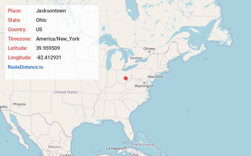
Static map view of Jacksontown, Ohio
Browse Places by Distance
Places within specific distances from Jacksontown
Short Distances
Long Distances
Click any distance to see all places within that range from Jacksontown. Distances shown in miles (1 mile ≈ 1.61 kilometers).