Distance to Jacksonville, Oregon

Calculating Your Route
Just a moment while we process your request...
Location Information
-
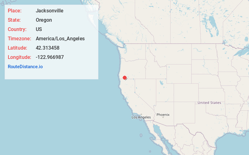
Full AddressJacksonville, OR 97530
-
Coordinates42.3134584, -122.9669865
-
LocationJacksonville , Oregon , US
-
TimezoneAmerica/Los_Angeles
-
Current Local Time11:25:36 AM America/Los_AngelesSunday, May 25, 2025
-
Page Views0
About Jacksonville
Jacksonville is a city in Jackson County, Oregon, United States, approximately 5 miles west of Medford. It was named for Jackson Creek, which flows through the community and was the site of one of the first placer gold claims in the area.


Nearby Places
Found 10 places within 50 miles

Medford
4.7 mi
7.6 km
Medford, OR
Get directions

Central Point
5.0 mi
8.0 km
Central Point, OR
Get directions

Phoenix
8.1 mi
13.0 km
Phoenix, OR
Get directions

Talent
10.2 mi
16.4 km
Talent, OR 97540
Get directions

White City
10.6 mi
17.1 km
White City, OR
Get directions

Eagle Point
13.8 mi
22.2 km
Eagle Point, OR 97524
Get directions

Ashland
15.5 mi
24.9 km
Ashland, OR 97520
Get directions

Grants Pass
20.4 mi
32.8 km
Grants Pass, OR
Get directions

Shady Cove
22.3 mi
35.9 km
Shady Cove, OR 97539
Get directions

Redwood
22.7 mi
36.5 km
Redwood, OR 97527
Get directions
Location Links
Local Weather
Weather Information
Coming soon!
Location Map
Static map view of Jacksonville, Oregon
Browse Places by Distance
Places within specific distances from Jacksonville
Short Distances
Long Distances
Click any distance to see all places within that range from Jacksonville. Distances shown in miles (1 mile ≈ 1.61 kilometers).