Distance to Jacobs, Missouri

Calculating Your Route
Just a moment while we process your request...
Location Information
-
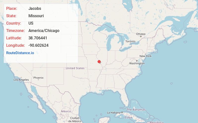
Full AddressJacobs, Harvester Township, MO 63304
-
Coordinates38.7064413, -90.6026235
-
LocationHarvester Township , Missouri , US
-
TimezoneAmerica/Chicago
-
Current Local Time8:25:05 AM America/ChicagoMonday, June 23, 2025
-
Page Views0
Nearby Places
Found 10 places within 50 miles

Chesterfield
3.3 mi
5.3 km
Chesterfield, MO
Get directions

Cottleville
3.9 mi
6.3 km
Cottleville, MO
Get directions

Weldon Spring Heights
4.6 mi
7.4 km
Weldon Spring Heights, MO
Get directions

Weldon Spring
4.7 mi
7.6 km
Weldon Spring, MO
Get directions
Lake
4.8 mi
7.7 km
Lake, Chesterfield, MO 63017
Get directions
All Saints Village
4.9 mi
7.9 km
All Saints Village, MO 63376
Get directions
Orrville
5.7 mi
9.2 km
Orrville, Wildwood, MO 63005
Get directions
Monarch
5.7 mi
9.2 km
Monarch, Wildwood, MO 63005
Get directions

St Peters
5.8 mi
9.3 km
St Peters, MO
Get directions
Clarkson Valley
6.1 mi
9.8 km
Clarkson Valley, MO
Get directions
Location Links
Local Weather
Weather Information
Coming soon!
Location Map
Static map view of Jacobs, Missouri
Browse Places by Distance
Places within specific distances from Jacobs
Short Distances
Long Distances
Click any distance to see all places within that range from Jacobs. Distances shown in miles (1 mile ≈ 1.61 kilometers).