Distance to Jacobsburg, Ohio

Calculating Your Route
Just a moment while we process your request...
Location Information
-
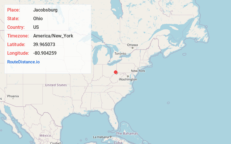
Full AddressJacobsburg, OH 43933
-
Coordinates39.9650725, -80.9042594
-
LocationJacobsburg , Ohio , US
-
TimezoneAmerica/New_York
-
Current Local Time1:25:59 PM America/New_YorkSaturday, June 21, 2025
-
Page Views0
About Jacobsburg
Jacobsburg is an unincorporated community in southeastern Smith Township, Belmont County, Ohio, United States. It has a post office with the ZIP code 43933. It lies along State Route 147.
Jacobsburg is part of the Wheeling, WV-OH Metropolitan Statistical Area.
Nearby Places
Found 10 places within 50 miles

Key
1.9 mi
3.1 km
Key, Mead Township, OH 43933
Get directions
Glencoe
3.1 mi
5.0 km
Glencoe, OH
Get directions
Warnock
4.3 mi
6.9 km
Warnock, OH
Get directions
Vadis
5.0 mi
8.0 km
Vadis, Mead Township, OH 43933
Get directions
Echo
6.3 mi
10.1 km
Echo, Neffs, OH 43906
Get directions
Neffs
6.4 mi
10.3 km
Neffs, OH 43906
Get directions
St Joe
6.5 mi
10.5 km
St Joe, Pultney Township, OH 43906
Get directions
Round Bottom
6.6 mi
10.6 km
Round Bottom, West Virginia 26041
Get directions
Homeside
6.7 mi
10.8 km
Homeside, Richland Township, OH 43950
Get directions
Steinersville
7.7 mi
12.4 km
Steinersville, York Township, OH 43942
Get directions
Location Links
Local Weather
Weather Information
Coming soon!
Location Map
Static map view of Jacobsburg, Ohio
Browse Places by Distance
Places within specific distances from Jacobsburg
Short Distances
Long Distances
Click any distance to see all places within that range from Jacobsburg. Distances shown in miles (1 mile ≈ 1.61 kilometers).