Distance to Jalapa, Indiana

Calculating Your Route
Just a moment while we process your request...
Location Information
-
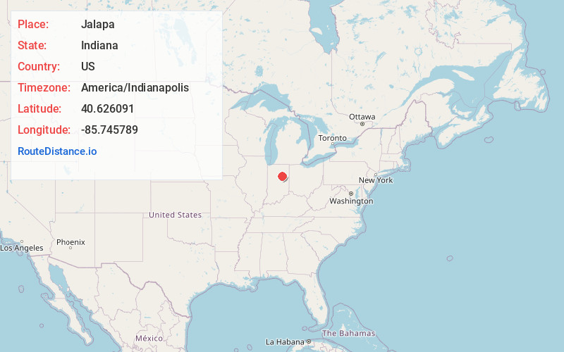
Full AddressJalapa, IN 46952
-
Coordinates40.626091, -85.745789
-
LocationJalapa , Indiana , US
-
TimezoneAmerica/Indianapolis
-
Page Views0
About Jalapa
Jalapa is an unincorporated community and census-designated place in Pleasant Township, Grant County, Indiana, United States. As of the 2010 census it had a population of 171. The site of the Battle of the Mississinewa, fought during the War of 1812, is nearby.
Nearby Places
Found 10 places within 50 miles

La Fontaine
3.5 mi
5.6 km
La Fontaine, IN 46940
Get directions

Sweetser
3.9 mi
6.3 km
Sweetser, IN
Get directions

Somerset
5.3 mi
8.5 km
Somerset, IN
Get directions

Marion
6.5 mi
10.5 km
Marion, IN
Get directions

Converse
7.5 mi
12.1 km
Converse, IN 46919
Get directions

Swayzee
9.1 mi
14.6 km
Swayzee, IN 46986
Get directions
Landess
9.7 mi
15.6 km
Landess, IN
Get directions
Amboy
9.8 mi
15.8 km
Amboy, IN 46911
Get directions
Sims
10.5 mi
16.9 km
Sims, IN 46986
Get directions

Gas City
11.9 mi
19.2 km
Gas City, IN
Get directions
Location Links
Local Weather
Weather Information
Coming soon!
Location Map
Static map view of Jalapa, Indiana
Browse Places by Distance
Places within specific distances from Jalapa
Short Distances
Long Distances
Click any distance to see all places within that range from Jalapa. Distances shown in miles (1 mile ≈ 1.61 kilometers).