Distance to Jalapa, South Carolina

Calculating Your Route
Just a moment while we process your request...
Location Information
-
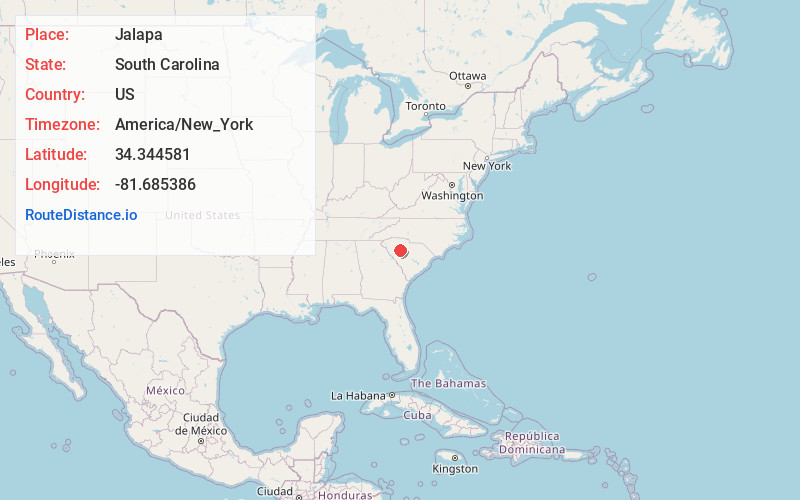
Full AddressJalapa, SC 29108
-
Coordinates34.3445806, -81.6853855
-
LocationSouth Carolina , US
-
TimezoneAmerica/New_York
-
Current Local Time2:58:45 PM America/New_YorkMonday, June 16, 2025
-
Page Views0
About Jalapa
Jalapa is an unincorporated community in Newberry County, South Carolina, United States. The elevation is 564 feet.
Nearby Places
Found 10 places within 50 miles

Beth Eden
3.6 mi
5.8 km
Beth Eden, SC 29108
Get directions

Newberry
6.2 mi
10.0 km
Newberry, SC 29108
Get directions

Joanna
8.7 mi
14.0 km
Joanna, SC
Get directions
Silverstreet
8.9 mi
14.3 km
Silverstreet, SC
Get directions
Eison Crossroads
9.0 mi
14.5 km
Eison Crossroads, SC 29178
Get directions
Browns Crossroads
9.1 mi
14.6 km
Browns Crossroads, SC 29108
Get directions
Renno
10.1 mi
16.3 km
Renno, SC 29325
Get directions
Milton
11.7 mi
18.8 km
Milton, SC 29370
Get directions
Mudlick
11.7 mi
18.8 km
Mudlick, SC 29037
Get directions

Whitmire
11.7 mi
18.8 km
Whitmire, SC 29178
Get directions
Location Links
Local Weather
Weather Information
Coming soon!
Location Map
Static map view of Jalapa, South Carolina
Browse Places by Distance
Places within specific distances from Jalapa
Short Distances
Long Distances
Click any distance to see all places within that range from Jalapa. Distances shown in miles (1 mile ≈ 1.61 kilometers).