Distance to Jalappa, Pennsylvania

Calculating Your Route
Just a moment while we process your request...
Location Information
-
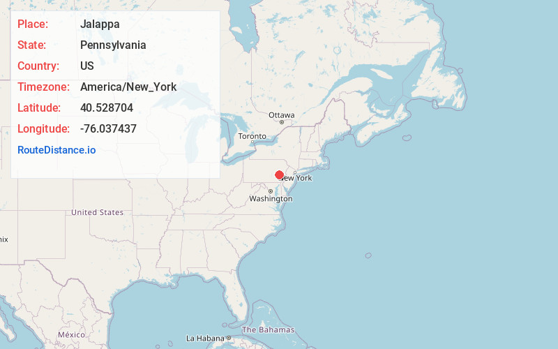
Full AddressJalappa, PA 19526
-
Coordinates40.528704, -76.0374371
-
LocationJalappa , Pennsylvania , US
-
TimezoneAmerica/New_York
-
Current Local Time3:44:38 AM America/New_YorkFriday, June 20, 2025
-
Page Views0
About Jalappa
Jalappa is a village in Tilden Township, Berks County, Pennsylvania, United States. It is located on Old Route 22, less than one mile south of Interstate 78. Access to 78 is from Hamburg and Shartlesville. The Mill Creek flows eastward through the village to the Schuylkill River.
Nearby Places
Found 10 places within 50 miles

Tilden Township
0.9 mi
1.4 km
Tilden Township, PA
Get directions

Berne
1.9 mi
3.1 km
Berne, PA 19526
Get directions
West Hamburg
2.3 mi
3.7 km
West Hamburg, PA 19526
Get directions
Upper Bern Township
3.1 mi
5.0 km
Upper Bern Township, PA
Get directions
Centerport
3.3 mi
5.3 km
Centerport, PA 19541
Get directions

Hamburg
3.5 mi
5.6 km
Hamburg, PA 19526
Get directions

Shartlesville
3.7 mi
6.0 km
Shartlesville, PA
Get directions

Port Clinton
3.8 mi
6.1 km
Port Clinton, PA
Get directions

Shoemakersville
4.0 mi
6.4 km
Shoemakersville, PA
Get directions
Edenburg
4.8 mi
7.7 km
Edenburg, PA 19526
Get directions
Location Links
Local Weather
Weather Information
Coming soon!
Location Map
Static map view of Jalappa, Pennsylvania
Browse Places by Distance
Places within specific distances from Jalappa
Short Distances
Long Distances
Click any distance to see all places within that range from Jalappa. Distances shown in miles (1 mile ≈ 1.61 kilometers).