Distance to and from Jamaica, Virginia
Jamaica, VA 23079
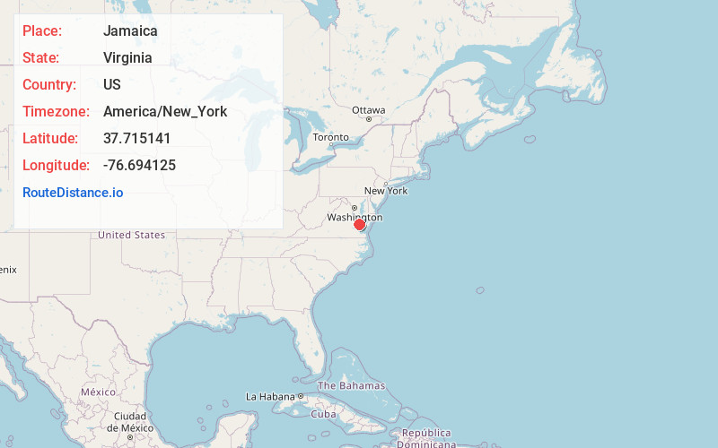
Jamaica
Virginia
US
America/New_York
Location Information
-
Full AddressJamaica, VA 23079
-
Coordinates37.7151407, -76.6941246
-
LocationJamaica , Virginia , US
-
TimezoneAmerica/New_York
-
Current Local Time10:41:59 PM America/New_YorkSaturday, May 3, 2025
-
Page Views0
Directions to Nearest Cities
About Jamaica
Jamaica is an unincorporated community in Middlesex County, Virginia, United States. Jamaica is located on U.S. Route 17 9.3 miles northwest of Saluda. Jamaica had a post office, which closed on August 5, 2006. The Virginia Motor Speedway is located in Jamaica.


Nearby Places
Found 10 places within 50 miles

Church View
2.7 mi
4.3 km
Church View, VA 23032
Get directions
Nesting
2.8 mi
4.5 km
Nesting, VA 23079
Get directions
Bayport
2.9 mi
4.7 km
Bayport, VA 23079
Get directions
Samos
3.2 mi
5.1 km
Samos, VA 23180
Get directions
Laneview
3.5 mi
5.6 km
Laneview, VA
Get directions
Revis
3.7 mi
6.0 km
Revis, VA 23175
Get directions
Butylo
3.9 mi
6.3 km
Butylo, VA 22504
Get directions
Montague
4.4 mi
7.1 km
Montague, VA 22504
Get directions
Water View
4.5 mi
7.2 km
Water View, VA 23180
Get directions
Velma
4.8 mi
7.7 km
Velma, VA 23108
Get directions
Church View
2.7 mi
4.3 km
Church View, VA 23032
Nesting
2.8 mi
4.5 km
Nesting, VA 23079
Bayport
2.9 mi
4.7 km
Bayport, VA 23079
Samos
3.2 mi
5.1 km
Samos, VA 23180
Laneview
3.5 mi
5.6 km
Laneview, VA
Revis
3.7 mi
6.0 km
Revis, VA 23175
Butylo
3.9 mi
6.3 km
Butylo, VA 22504
Montague
4.4 mi
7.1 km
Montague, VA 22504
Water View
4.5 mi
7.2 km
Water View, VA 23180
Velma
4.8 mi
7.7 km
Velma, VA 23108
Location Links
Local Weather
Weather Information
Coming soon!
Location Map
Static map view of Jamaica, Virginia
Browse Places by Distance
Places within specific distances from Jamaica
Short Distances
Long Distances
Click any distance to see all places within that range from Jamaica. Distances shown in miles (1 mile ≈ 1.61 kilometers).