Distance to James City, Pennsylvania

Calculating Your Route
Just a moment while we process your request...
Location Information
-
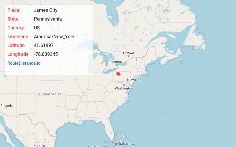
Full AddressJames City, PA
-
Coordinates41.6199704, -78.8393446
-
LocationJames City , Pennsylvania , US
-
TimezoneAmerica/New_York
-
Current Local Time4:43:20 AM America/New_YorkMonday, June 2, 2025
-
Page Views0
About James City
James City, formerly Durant City, is an unincorporated community and census-designated place in Elk County, Pennsylvania, United States. It lies approximately 4 miles south of Kane, about 1 mile away from Pennsylvania Route 66.


Nearby Places
Found 10 places within 50 miles

McKinley
1.4 mi
2.3 km
McKinley, Highland Township, PA 16735
Get directions

Kane
3.3 mi
5.3 km
Kane, PA 16735
Get directions
Wetmore
5.5 mi
8.9 km
Wetmore, Hamilton Township, PA 16735
Get directions

Wilcox
8.4 mi
13.5 km
Wilcox, PA 15870
Get directions
Jones Township
11.1 mi
17.9 km
Jones Township, PA
Get directions

Sheffield
11.7 mi
18.8 km
Sheffield, PA 16347
Get directions

Johnsonburg
12.3 mi
19.8 km
Johnsonburg, PA 15845
Get directions

Mt Jewett
12.7 mi
20.4 km
Mt Jewett, PA
Get directions

Ridgway
14.9 mi
24.0 km
Ridgway, PA 15853
Get directions

Mead Township
16.8 mi
27.0 km
Mead Township, PA
Get directions
Location Links
Local Weather
Weather Information
Coming soon!
Location Map
Static map view of James City, Pennsylvania
Browse Places by Distance
Places within specific distances from James City
Short Distances
Long Distances
Click any distance to see all places within that range from James City. Distances shown in miles (1 mile ≈ 1.61 kilometers).