Distance to James H. "Sloppy" Floyd State Park, Georgia

Calculating Your Route
Just a moment while we process your request...
Location Information
-
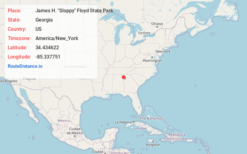
Full AddressJames H. "Sloppy" Floyd State Park, 2800 Sloppy Floyd Lake Rd, Summerville, GA 30747
-
Coordinates34.4346224, -85.3377505
-
Street2800 Sloppy Floyd Lake Rd
-
LocationSummerville , Georgia , US
-
TimezoneAmerica/New_York
-
Current Local Time12:53:39 AM America/New_YorkMonday, June 2, 2025
-
Website
-
Page Views0
About James H. "Sloppy" Floyd State Park
Moderate hiking trails & picnicking spots, plus pedal boat rentals & fishing on a lake.


Nearby Places
Found 10 places within 50 miles

Silver Hill
2.9 mi
4.7 km
Silver Hill, GA 30747
Get directions
Berryton
3.0 mi
4.8 km
Berryton, GA 30747
Get directions
West Summerville
3.2 mi
5.1 km
West Summerville, GA 30747
Get directions

Summerville
3.2 mi
5.1 km
Summerville, GA 30747
Get directions

Lyerly
4.3 mi
6.9 km
Lyerly, GA 30730
Get directions

Gore
4.5 mi
7.2 km
Gore, GA 30747
Get directions
Perennial
4.6 mi
7.4 km
Perennial, GA 30747
Get directions
Kartah
5.2 mi
8.4 km
Kartah, GA 30105
Get directions
Tidings
5.2 mi
8.4 km
Tidings, GA 30105
Get directions
Fouche
5.2 mi
8.4 km
Fouche, GA 30165
Get directions
Location Links
Local Weather
Weather Information
Coming soon!
Location Map
Static map view of James H. "Sloppy" Floyd State Park, Georgia
Browse Places by Distance
Places within specific distances from James H. "Sloppy" Floyd State Park
Short Distances
Long Distances
Click any distance to see all places within that range from James H. "Sloppy" Floyd State Park. Distances shown in miles (1 mile ≈ 1.61 kilometers).