Distance to Jamestown, Mississippi

Calculating Your Route
Just a moment while we process your request...
Location Information
-
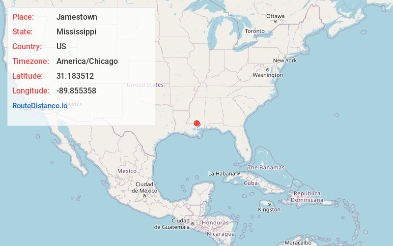
Full AddressJamestown, MS 39483
-
Coordinates31.183512, -89.8553579
-
LocationJamestown , Mississippi , US
-
TimezoneAmerica/Chicago
-
Current Local Time5:37:33 AM America/ChicagoSaturday, May 24, 2025
-
Page Views0
Nearby Places
Found 10 places within 50 miles

Lovelace
2.0 mi
3.2 km
Lovelace, MS 39483
Get directions
Mildred
2.6 mi
4.2 km
Mildred, MS 39483
Get directions
Lampton
3.4 mi
5.5 km
Lampton, MS 39429
Get directions
Foxworth
3.6 mi
5.8 km
Foxworth, MS 39483
Get directions

Columbia
4.9 mi
7.9 km
Columbia, MS 39429
Get directions
Hub
6.8 mi
10.9 km
Hub, MS 39429
Get directions
Fortenberry
8.6 mi
13.8 km
Fortenberry, MS 39429
Get directions

Kokomo
8.8 mi
14.2 km
Kokomo, MS 39643
Get directions
Morgantown
9.6 mi
15.4 km
Morgantown, MS 39483
Get directions

Sandy Hook
10.6 mi
17.1 km
Sandy Hook, MS 39478
Get directions
Location Links
Local Weather
Weather Information
Coming soon!
Location Map
Static map view of Jamestown, Mississippi
Browse Places by Distance
Places within specific distances from Jamestown
Short Distances
Long Distances
Click any distance to see all places within that range from Jamestown. Distances shown in miles (1 mile ≈ 1.61 kilometers).